Water Trails in Jefferson County
Water Trails - Scroll down to view the maps.
At present, there are two designated water trails in Jefferson County:
1. The 72-mile long Skunk River Water Trail traverses Keokuk, Washington, Jefferson and Henry counties. The Jefferson County section is 10.5 miles long.
2. The Cedar Creek Water Trail (scroll down) uses about 6 miles of a scenic section of Cedar Creek.
1. Skunk River Water Trail section in Jefferson County
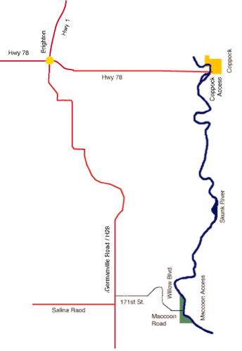
The Jefferson County section of the Skunk River Water Trail is 10.5 miles long. Put in at the Coppock Access boat ramp and take out at MacCoon Access.
The 72-mile Skunk River Water Trail begins at the South Skunk River Access (# 2 on the map, south of Sigourney) and ends at Oakland Mills Park (# 10 on the map, southwest of Mt Pleasant).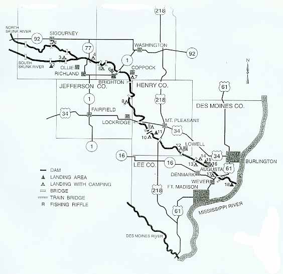 .
.
The Jefferson County portion of this water trail is maintained by the Jefferson County Conservation Board. A detailed brochure is available. Their website is here.
2. Cedar Creek Water Trail
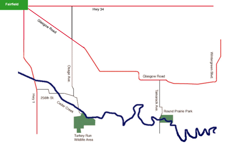
Put into Cedar Creek at the Turkey Run Wildlife Area and take out at Round Prairie Park, about 6 miles downstream.
This water trail is maintained by the Jefferson County Conservation Board. See more about this Water Trail at their website.
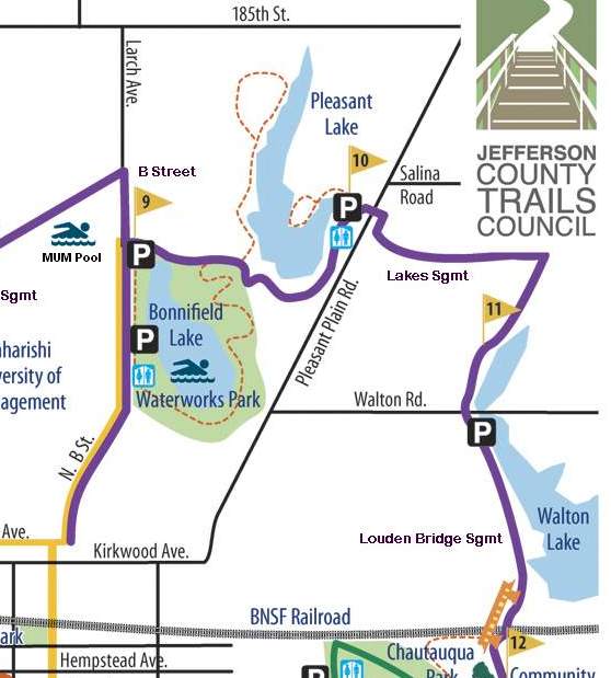
Fairfield City Lakes
The City of Fairfield and the Park & Recreation department are transforming the three city water reservoirs into water recreation areas, since the reservoirs were set aside as emergency sources of city water in 2005.
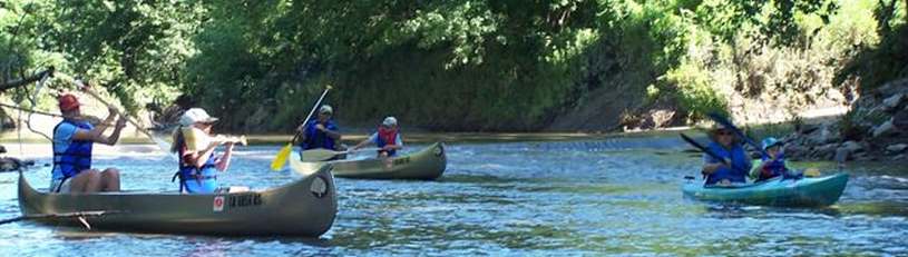
Non-wake boats are allowed on all 3 lakes, as well as row-boats, kayaks, etc. Boats with internal combustion engines are not allowed.
Please have respect for the lakes and help keep them clean.
Below: This map shows the location of the lakes.