Iowa DOT-South Segment Photos
The east entrance to the Iowa DOT-South segment, at Mint Blvd.
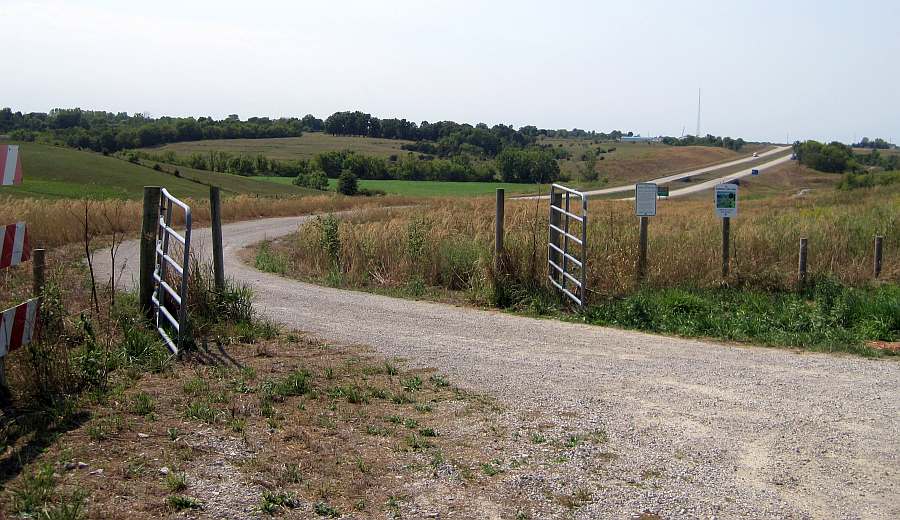
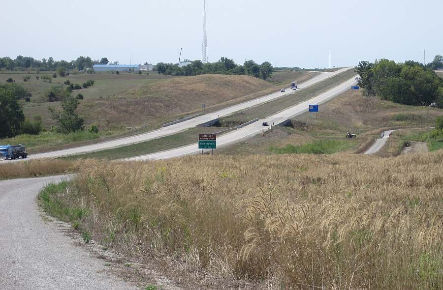
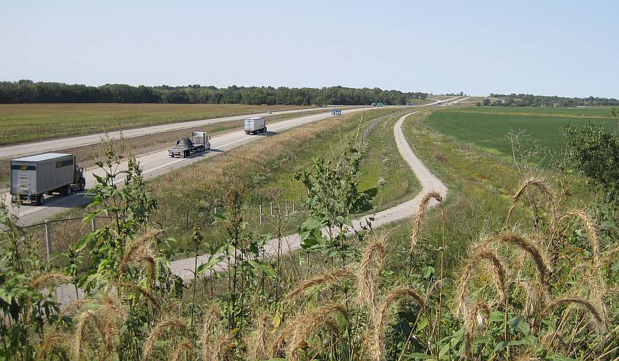
Looking west from Mint Blvd. This trail parallels the new Hwy 34 bypass.
The trail next to the Maasdam Barns.
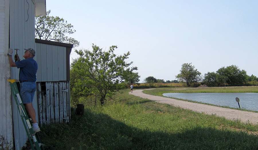
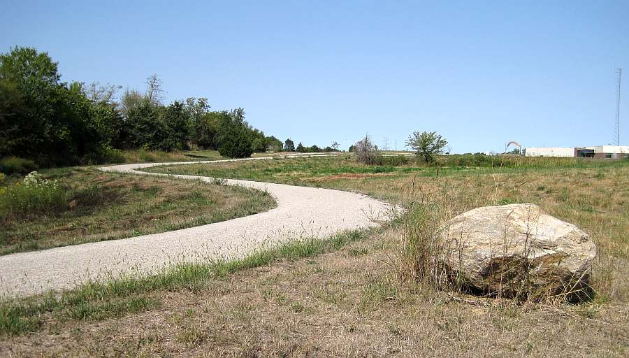
Just west of the Maasdam Barns.
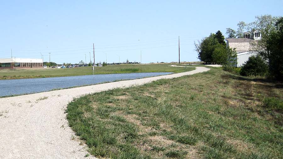
From the above photo, looking back (eastward) at the trail. Left is Jefferson County Health Center, right is Maasdam Barns
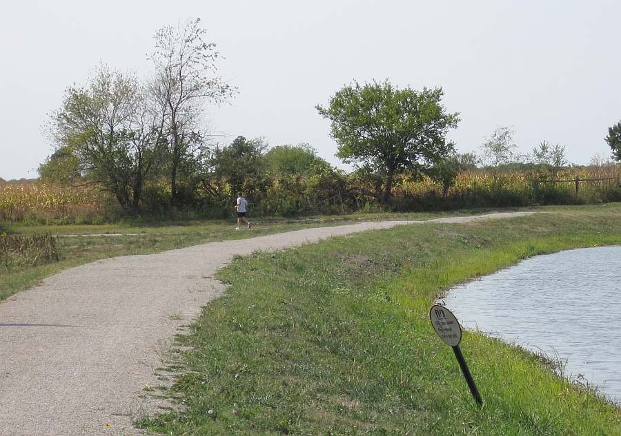
A bit further along the trail, looking back towards the Jefferson County Health Center.
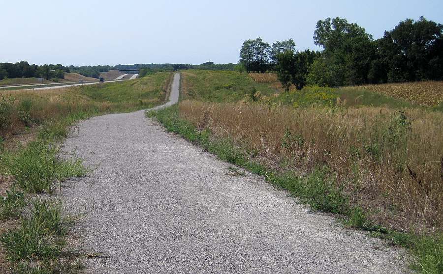
Looking west from near the Maasdam Barns.
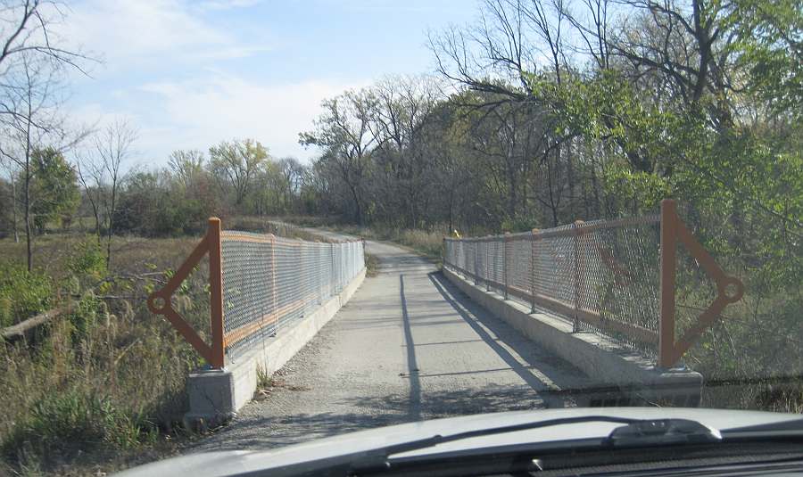
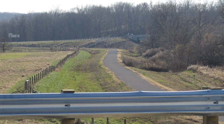
Another bridge, at the "S" curves.
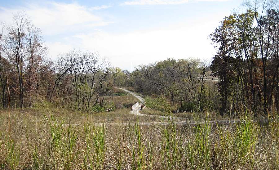
The bridges are designed so a maintenance pickup truck can cross the bridge.
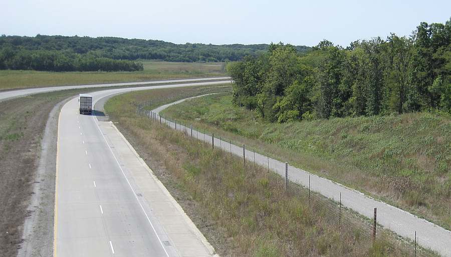
Looking east from the Libertyville Rd bridge.
Looking northwest from the Libertyville Rd bridge.
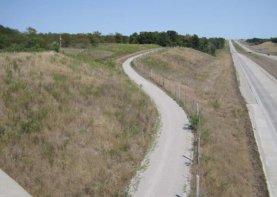
Looking southeast from the Cedar View Trail Bridge #2.
Looking northwest from Cedar View Trail Bridge #2.
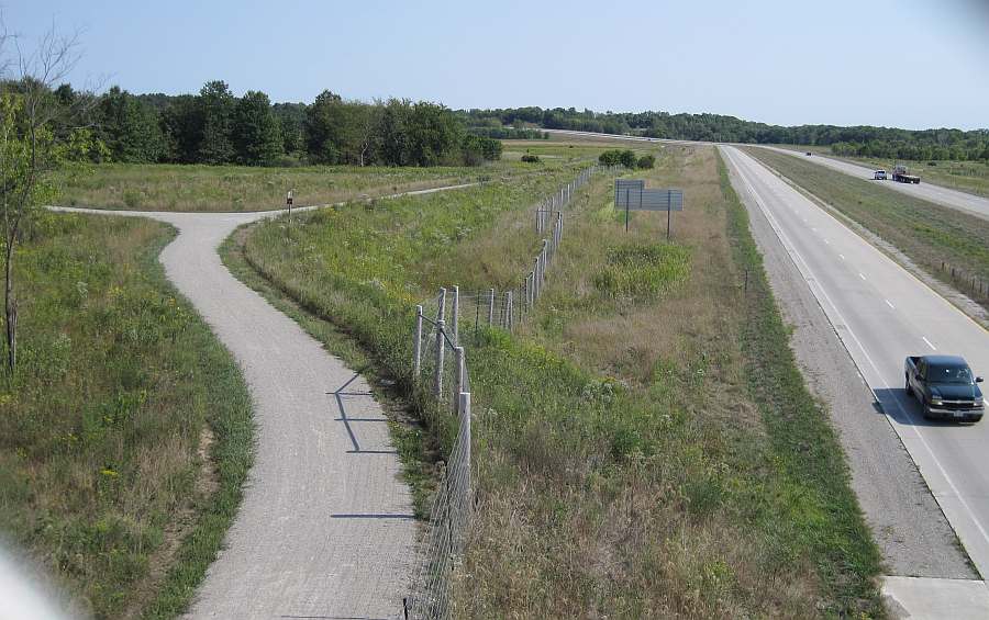
Looking south from the Business Hwy 34 bridge.
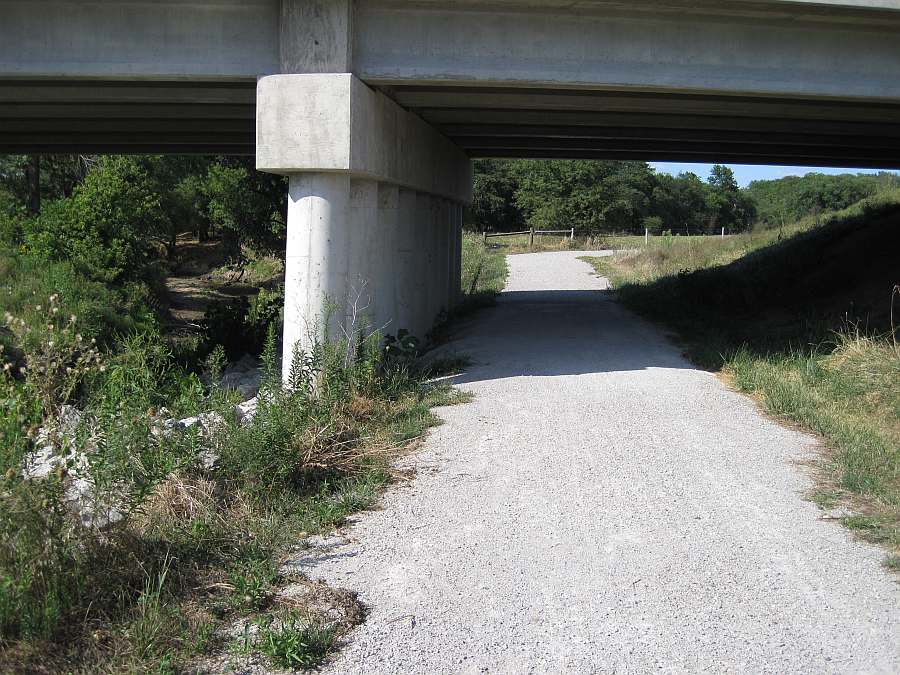
The north-western end of the DOT-South segment ends under Business Hwy 34, where the Whitham Woods segment begins.
Photos by Jeff Fitz-Randolph, Sept & Oct 2011.