Lake-to-Lake Trails Photos
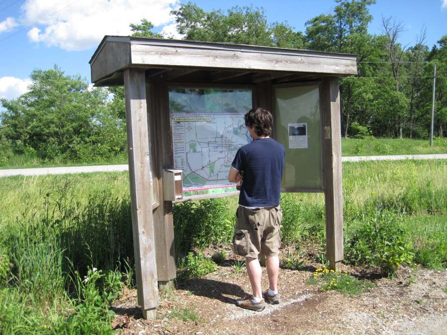
Let's check the map at Pleasant Lake.
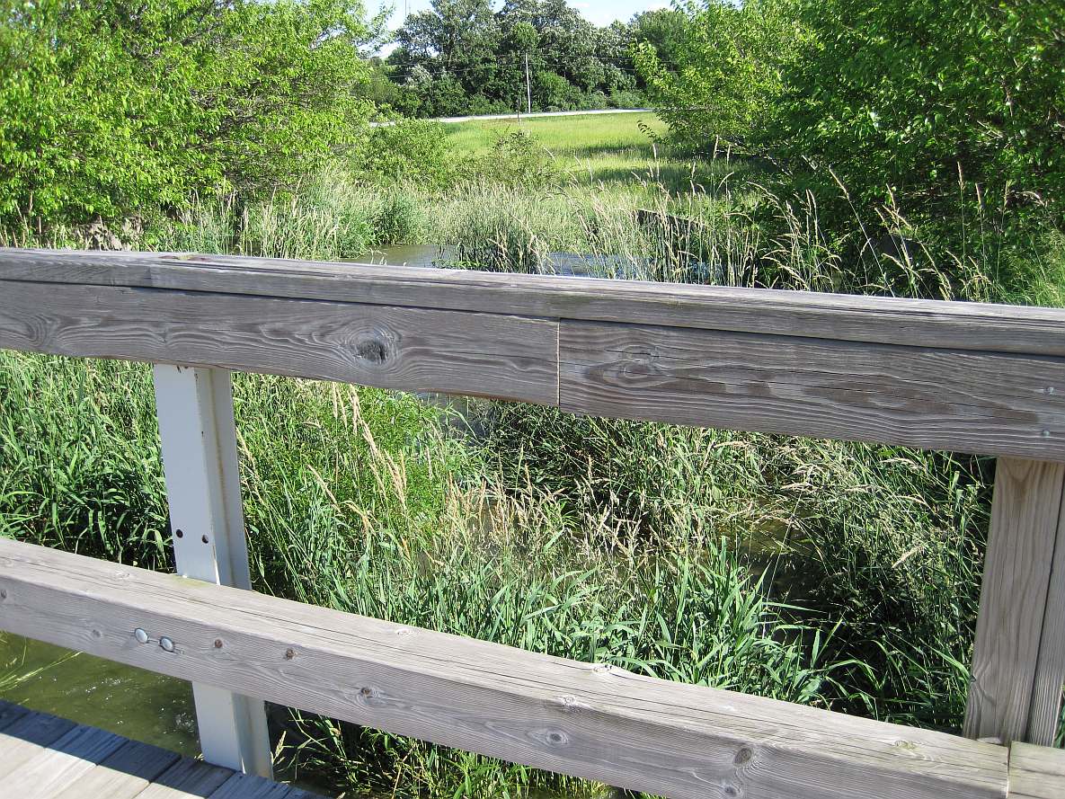
The Loop Trail crosses the Pleasant Lake spillway.
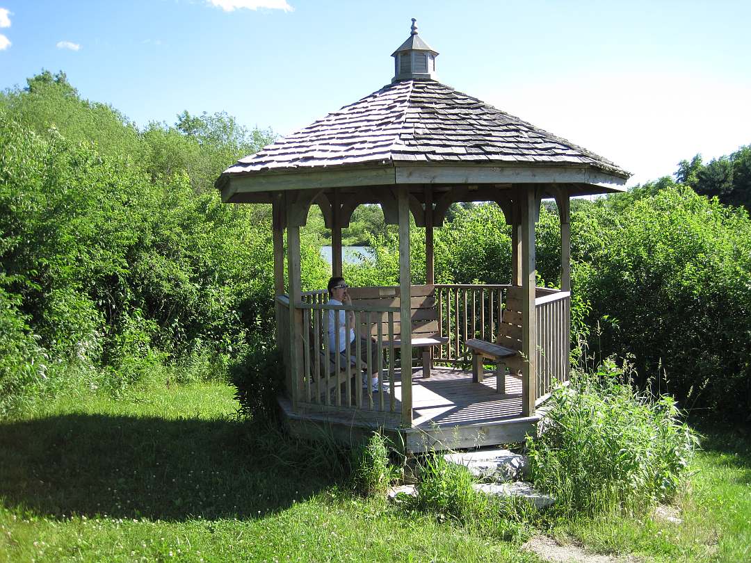
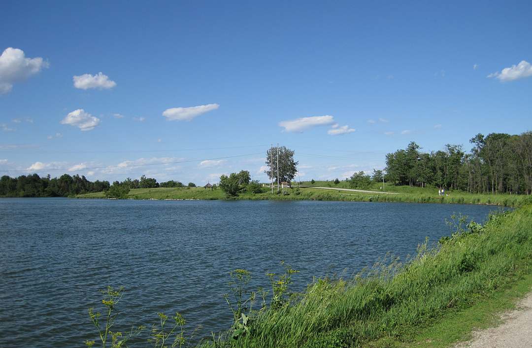
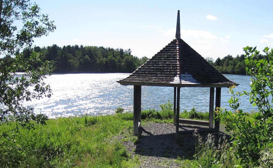
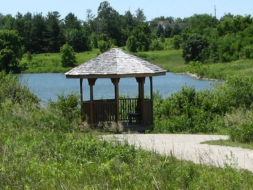
The Pleasant Lake parking lot and the gazebo in the background.
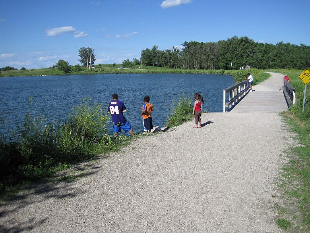
A popular fishing spot.
Looking at the spillway from the woodsy part of the trail.
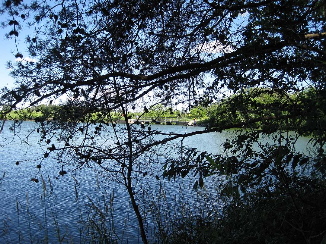
The spillway outlet.
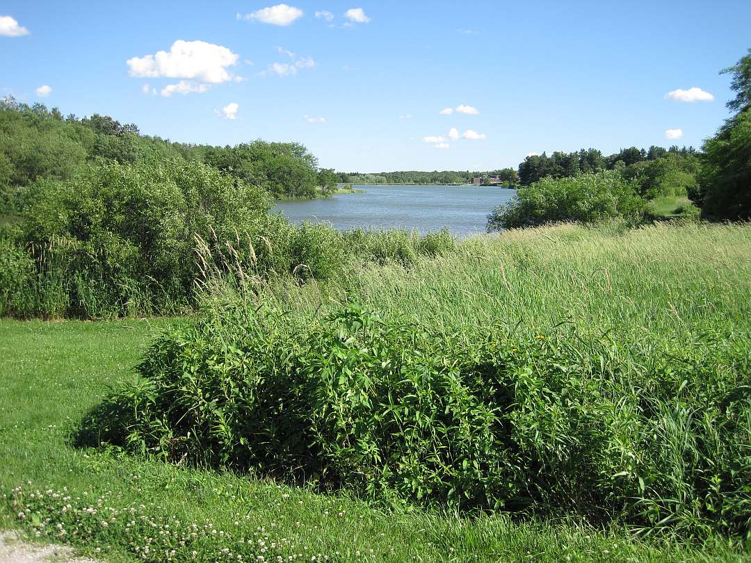
Pleasant Lake is a retired Fairfield water supply reservoir.
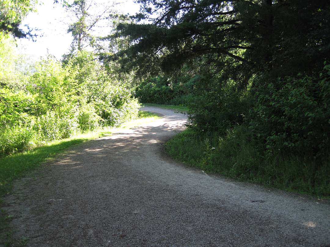
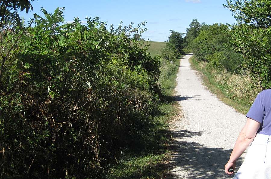
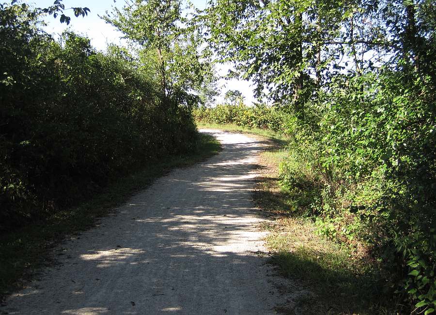
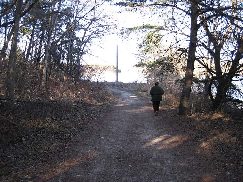
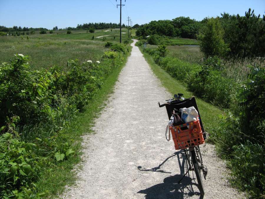
Entering the woodsy section.
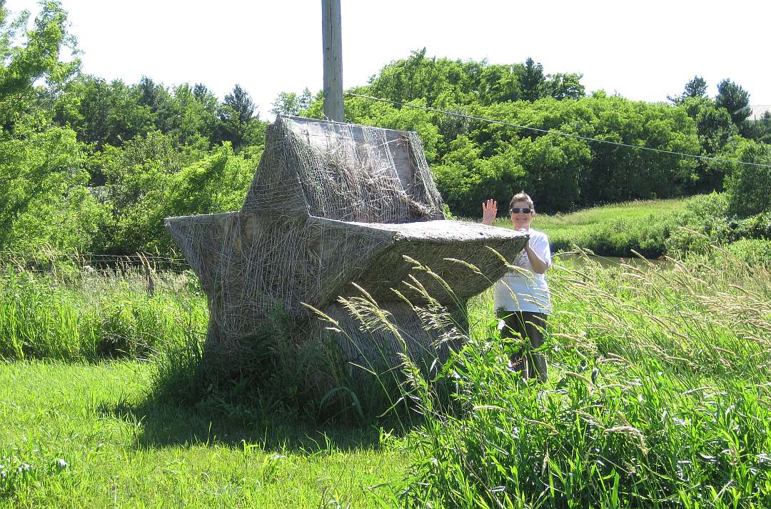
What are these? (They will deteriorate with time)
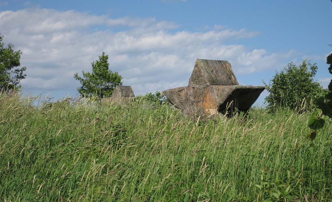
The Star Bales are part of an art project. The telephone pole is not part of the project.
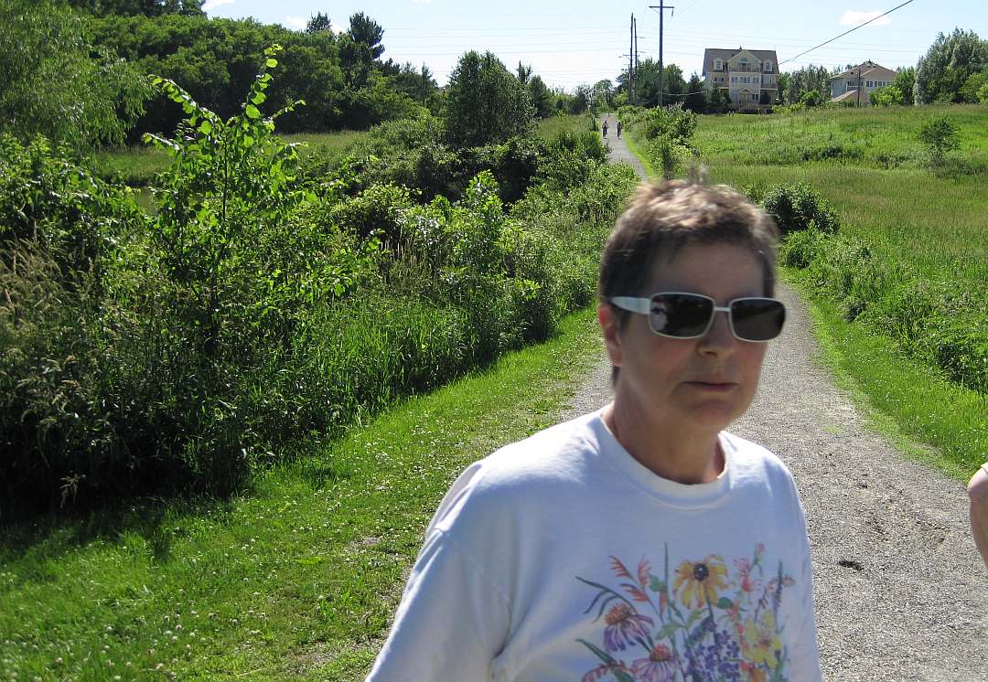
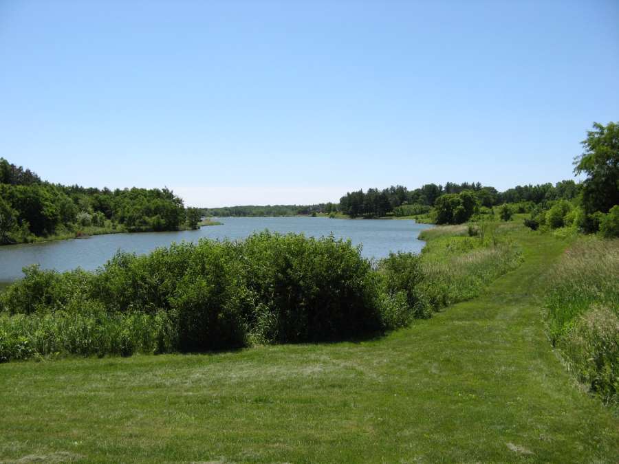
Jacqueline needs a rest as we approach Bonnifield Lake.
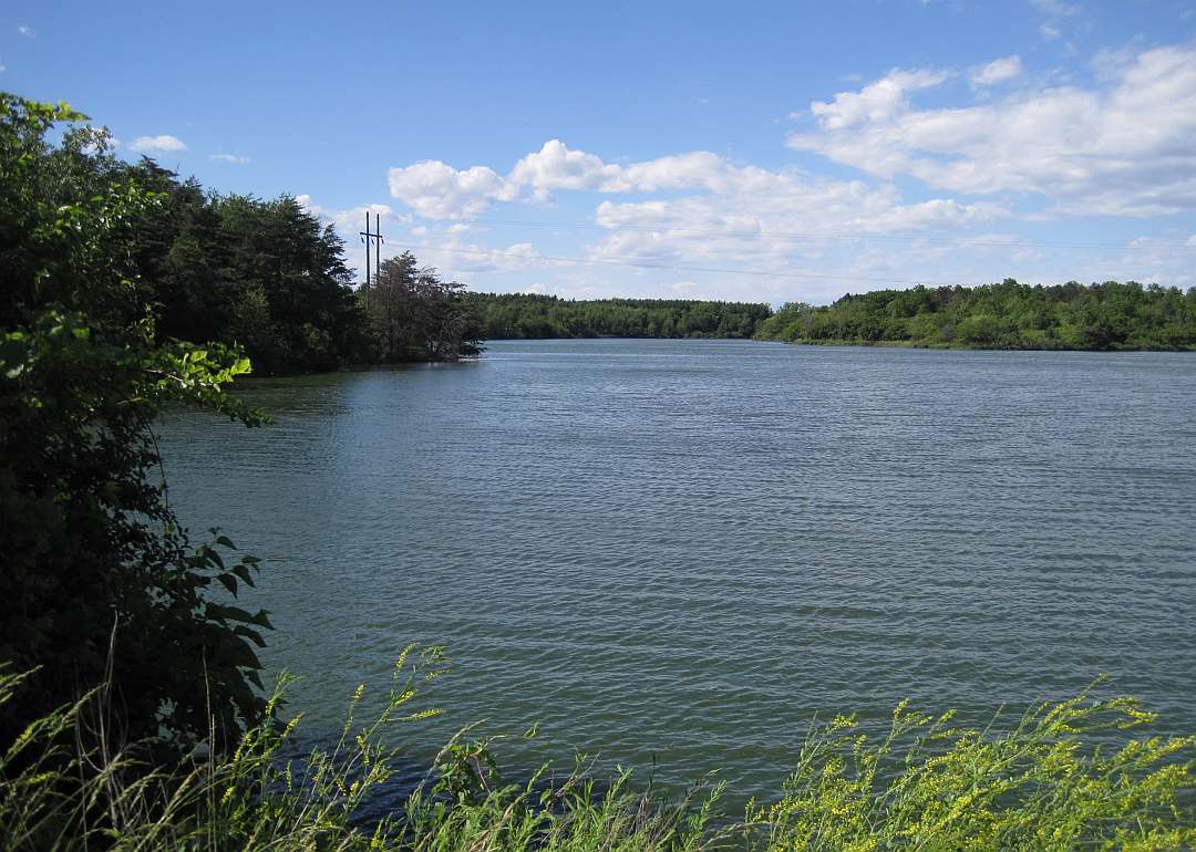
Bonnifield Lake is another retired Fairfield water supply reservoir, now used for recreation.
A grassy path goes around the lake.
Time to turn around and go back.
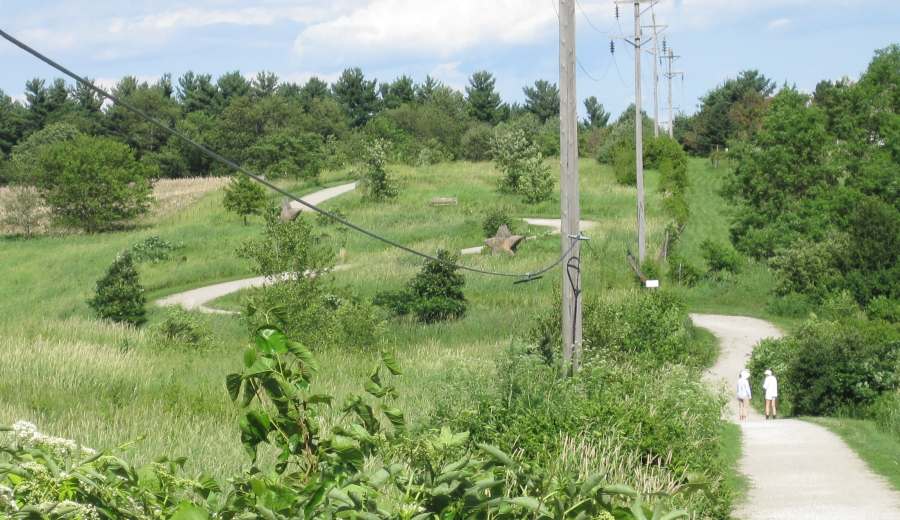
The "S" curves were designed to limit the steepness of the trail.
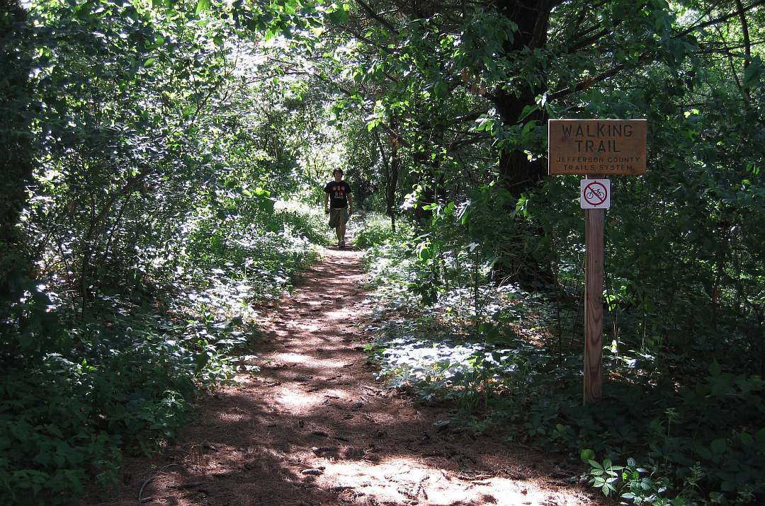
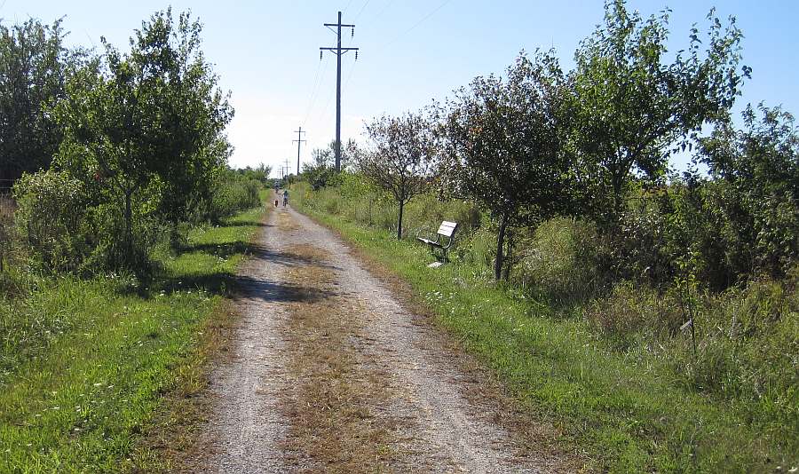
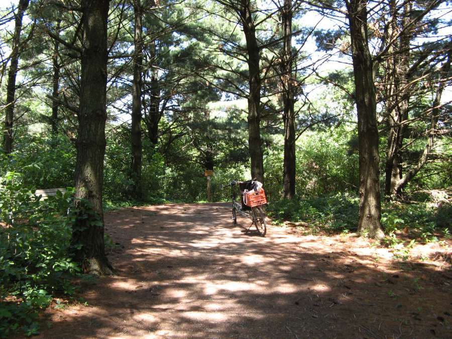
A walking-only path branches off from the pine-woods section.
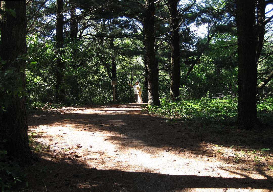
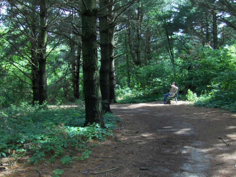
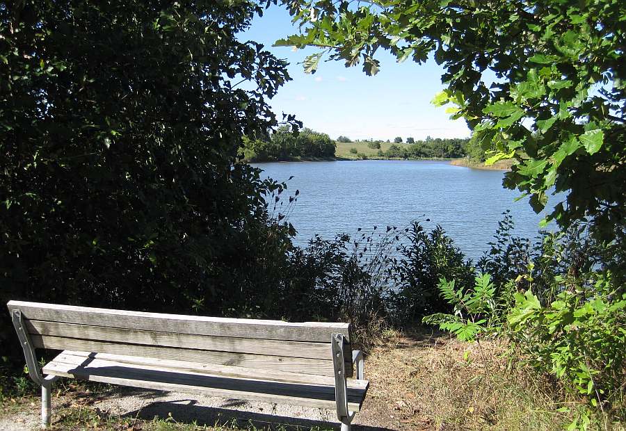
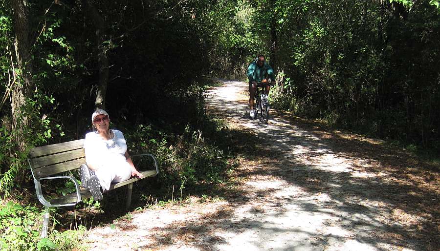
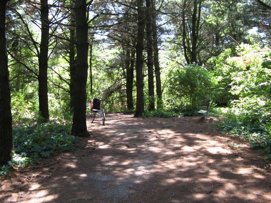
Resting on the bench in the pine forest on the Loop Trail, near the entrance to the West Walking Trail.
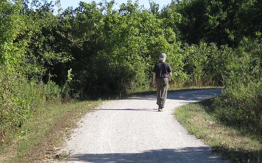
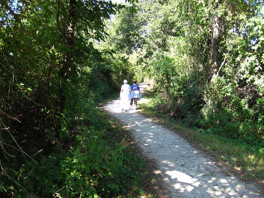
A walker is returning to the Loop Trail.
Back to Pleasant Lake.
Heading towards the parking lot and gazebo.
The Pleasant Lake gazebo came from MUM.
Photos by Jeff Fitz-Randolph, June, 2010.
Lake Scenes - between Walton Lake and Pleasant Lake
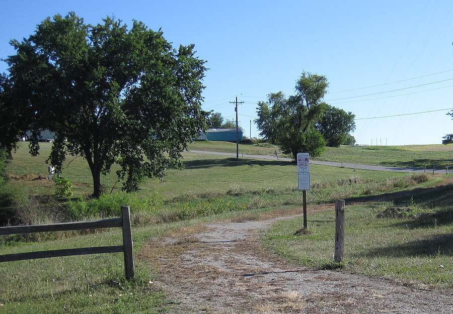
Let's start at the Walton Lake parking lot.
You could go south onto the BNSF Trail, but let's go north instead.
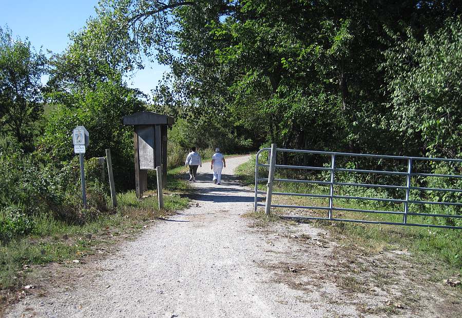
The entrance to the Lake-to-Lake Trail, going north, towards Pleasant Lake.
.
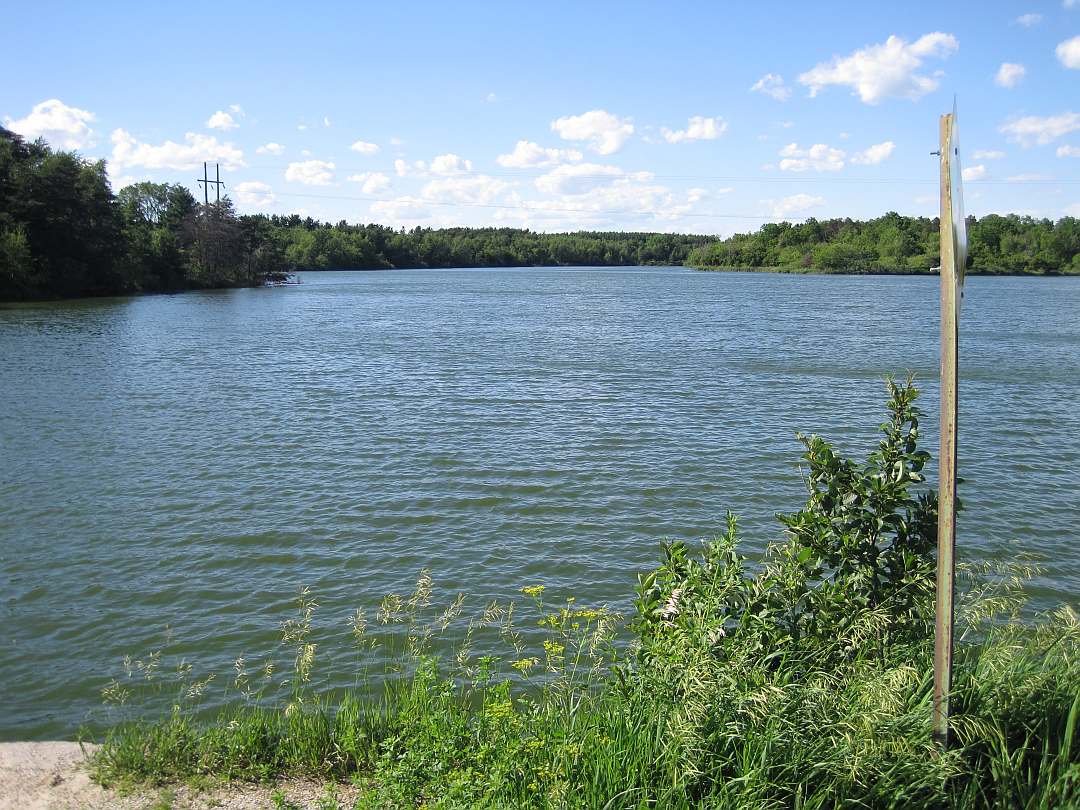
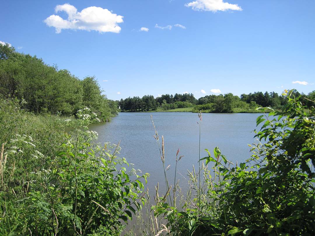
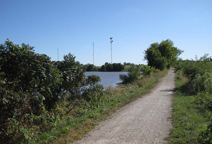
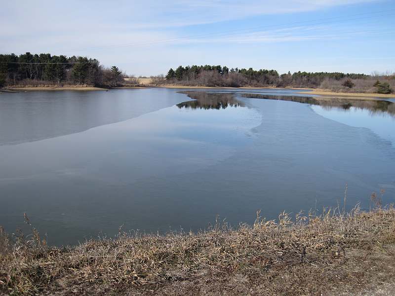
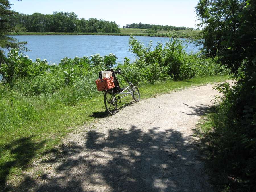
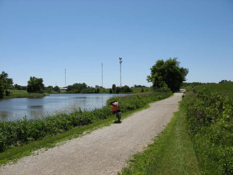
Relax and view the northern section of Walton Lake.
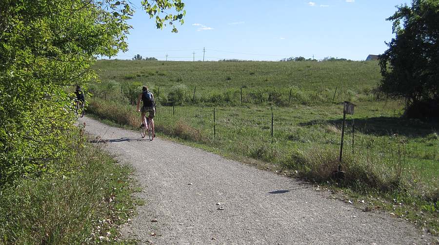
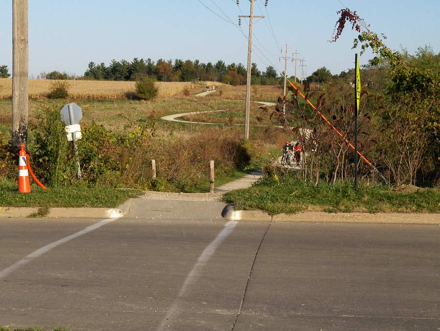
Watch for bicyclists.
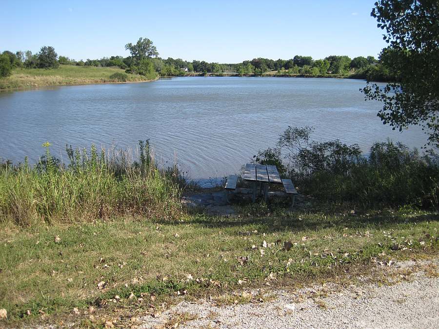
Picnic, anyone?.
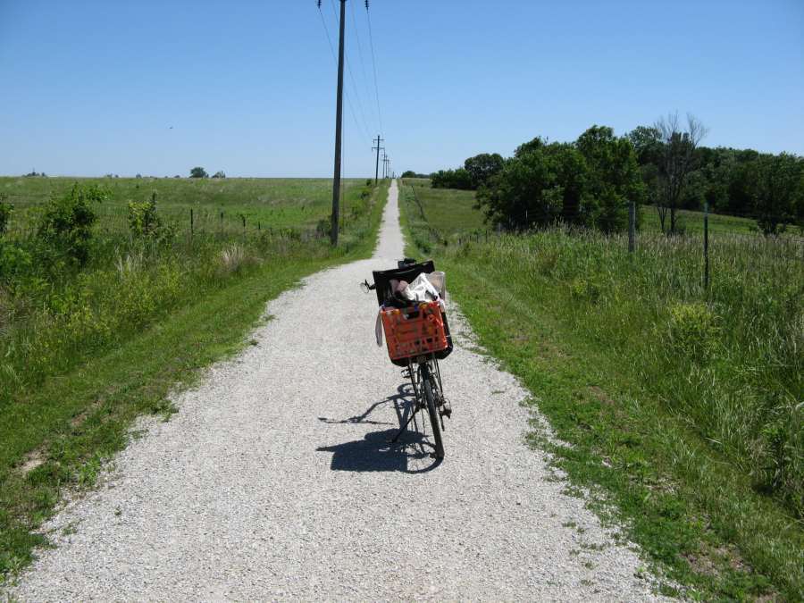
The trail goes gently uphill going north.
Looking back at the lake.
Leaving the lake area.
Heavy growth here.
Another bench for resting at the start of the wooded section.
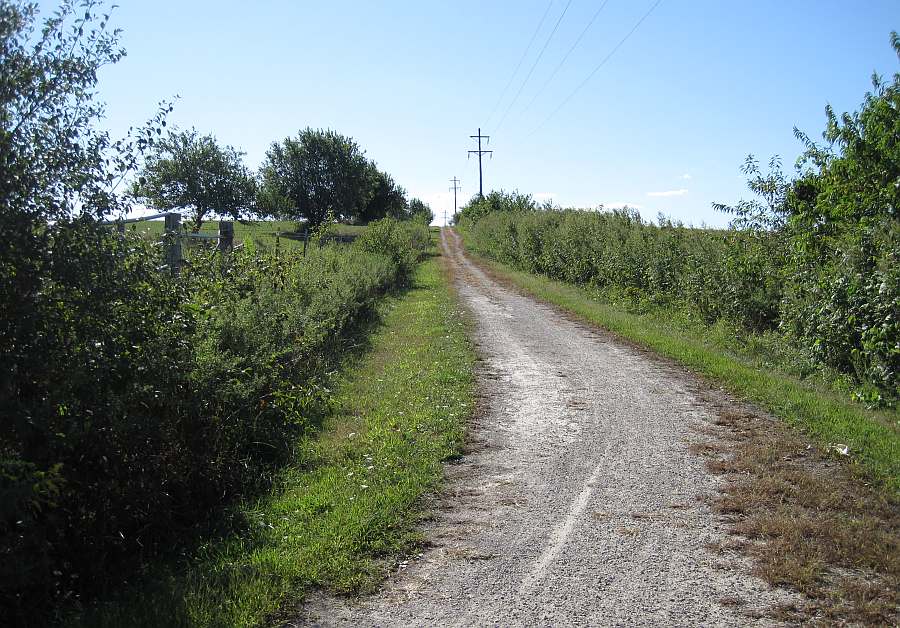
Heading north up towards the straight section that goes west to Pleasant Lake.
More uphill, headed west.
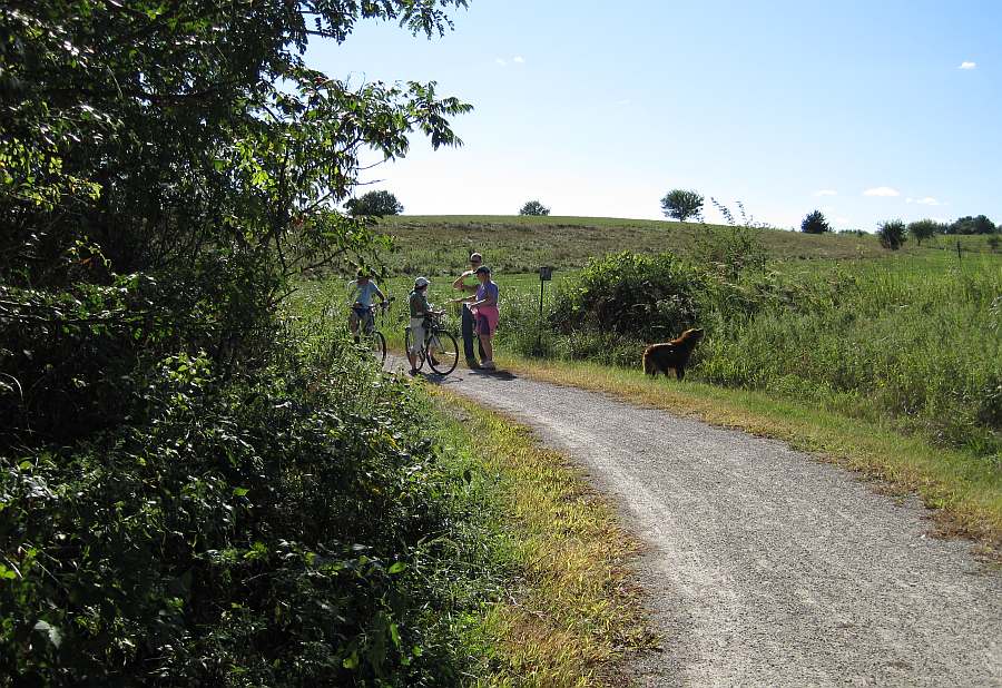
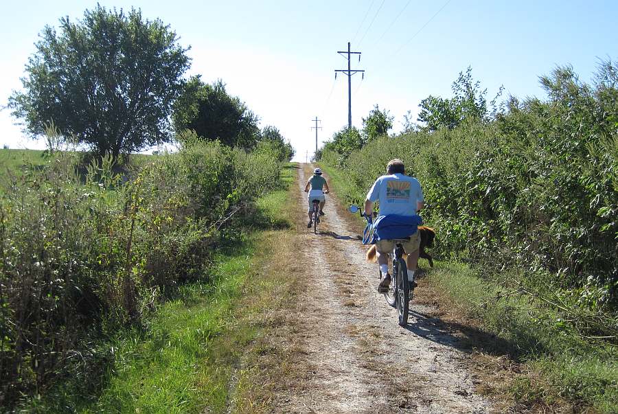
Bikes and a dog.
Another bench.
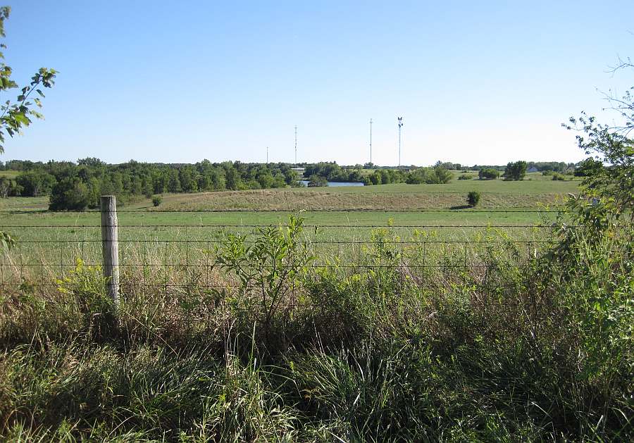
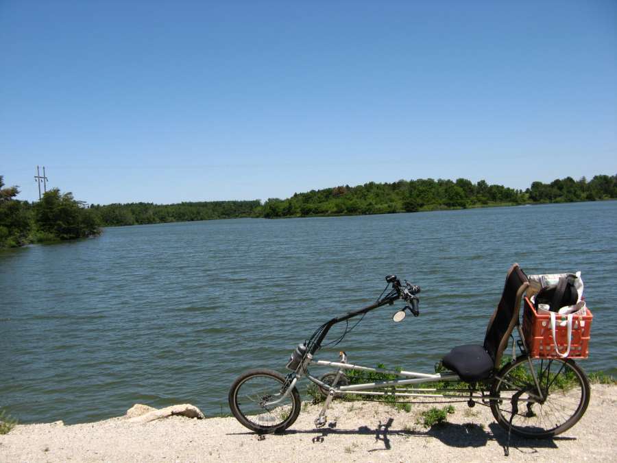
The view from the bench.
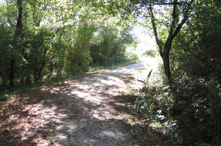
Back to the bench in the wooded section.
Photos by Jeff Fitz-Randolph, Sept 5, 2011.
New spillway, Pleasant Lake - Winter 2011-12
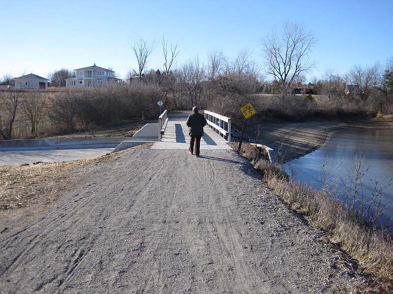
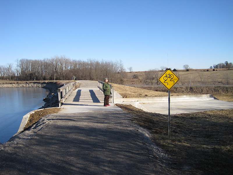
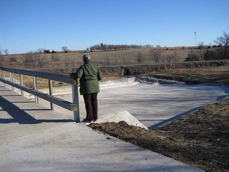
The Pleasant Lake spillway was rebuilt during the summer of 2011 -- this is the new one.
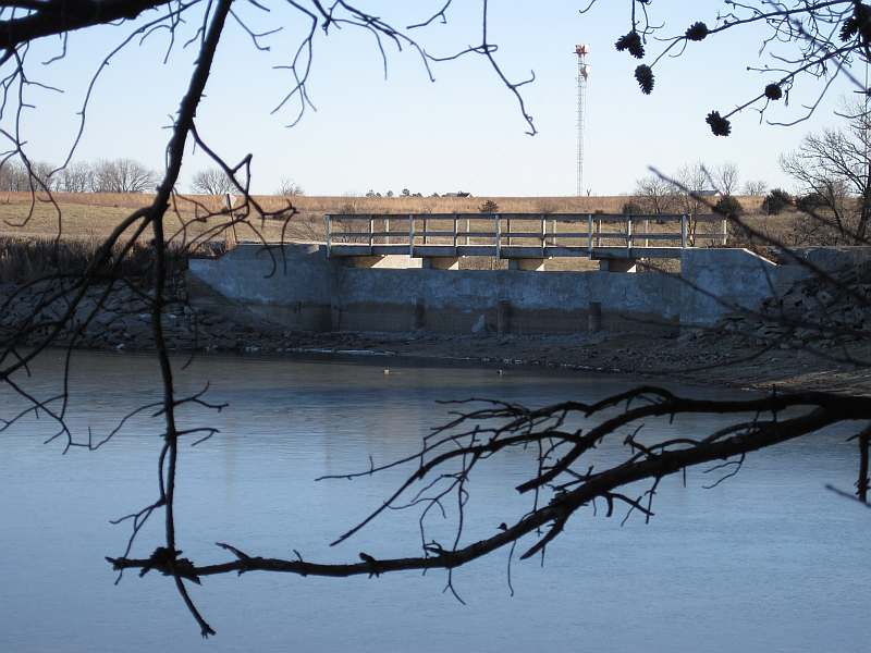
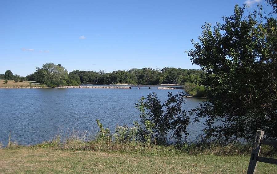
The lake on the right, spillway to the left. The Loop Trail Bridge was reused.
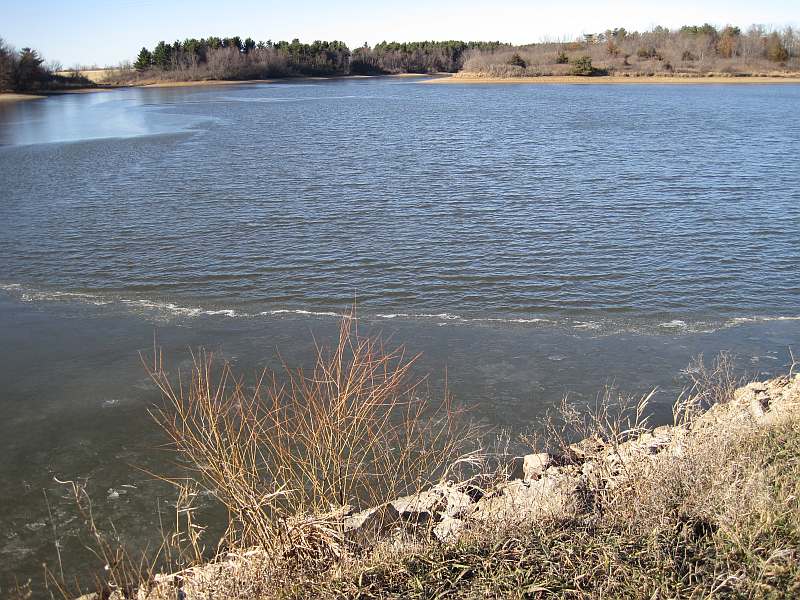
The lake water level has not risen enough to go over the spillway.
The creek-bed was also upgraded.
The ice is beginning to break up.
Following the Loop Trail along the lake to the pine woods.
Pine needles cover the trail surface.
Two weeks later there is still some ice on Pleasant Lake.
Photos by Jeff Fitz-Randolph, Dec 25, 2011 & Jan 7, 2012.
Lake-to-Lake segment (Bonnifield Lake - Pleasant Lake - Walton Lake) - July 2007
Looking east from B Street to the start of the Lake-to-Lake Trail section of the Loop Trail
Further down the trail, looking east from B Street toward the S Curves
The north end of Waterworks Park
The gazebo at the north end of Waterworks Park
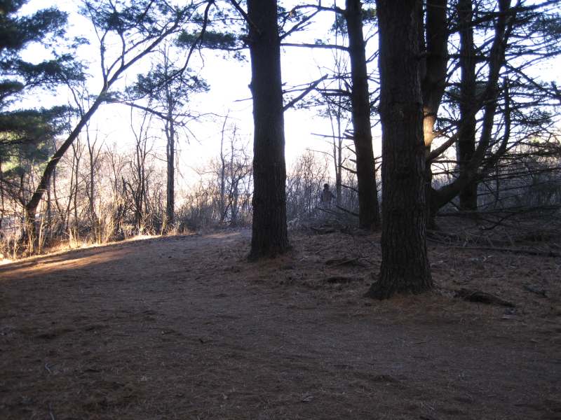
In the pine forest
A bench for resting (to the right)
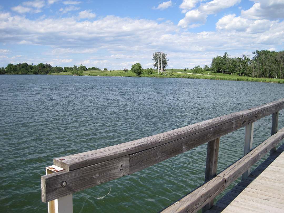
The trail along Pleasant Lake
The recumbent bike is a RANS Stratus
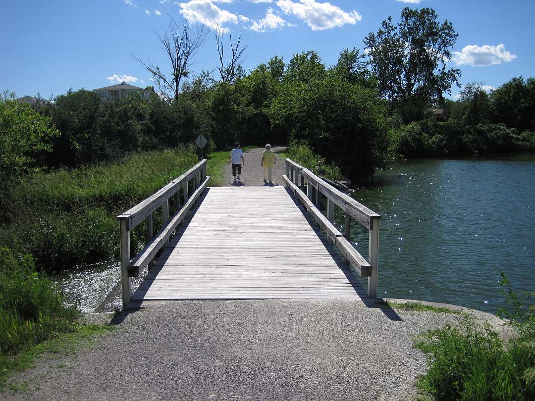
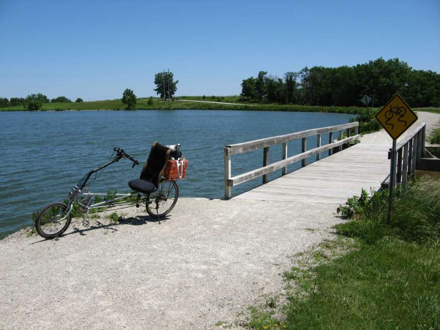
The trail bridge over Pleasant Lake
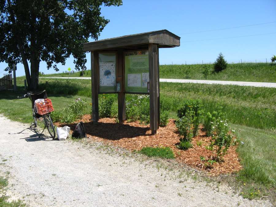
The kiosk at the parking lot off Pleasant Plain Road
On the east side of Pleasant Plain Road, going eastward
Along the north end of Walton Lake
Photos by Chris Hallenger, July 2007, except first photo by Jeff Fitz-Randolph.
