Construction: Fall 2009 to Spring 2010 - The railroad bed in the cow pasture - 04-13-10
The section of the Loop Trail under construction in the pasture next to Whitham Woods.
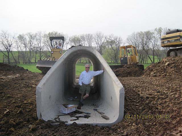
The tunnel will let cattle cross to the other side of the pasture. (jfr)
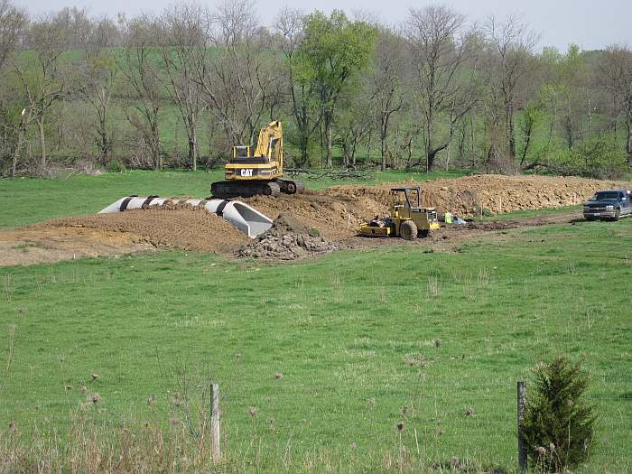
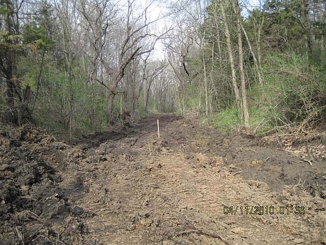
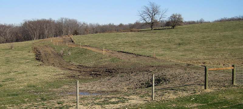
(04/13/10) The old railroad bed has to be raised to accommodate the tunnel. (jfr)
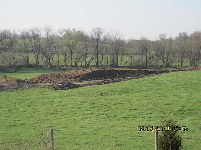
(04/08/10) Before the tunnel was installed. (rb)
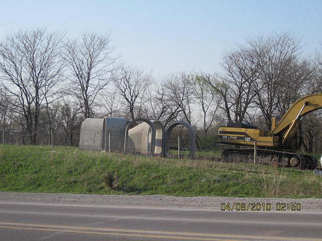
(04/08/10) The cattle-pass tunnel components are ready to be moooved into place. (rb)
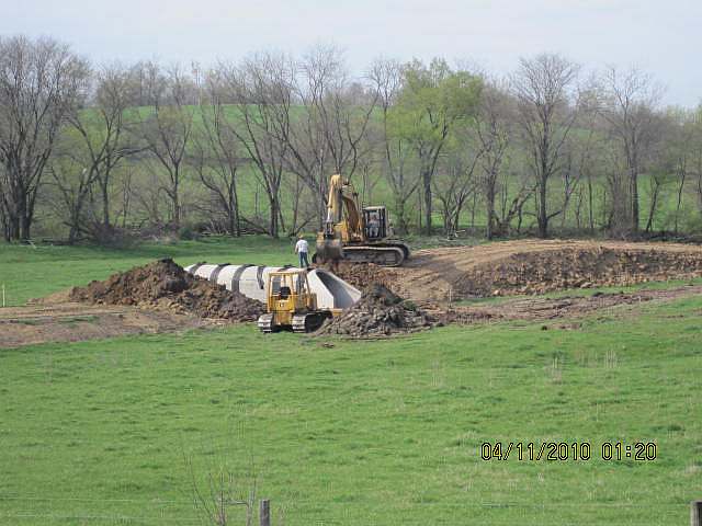
(04/11/10) The dirt will cover up the tunnel. (rb)
(04/11/10) Ron Blair tries out the tunnel. (rb)
(Nov 2009) This is the southwestern border of Whitham Woods. Ahead is the cow pasture. (jfr)
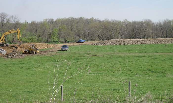
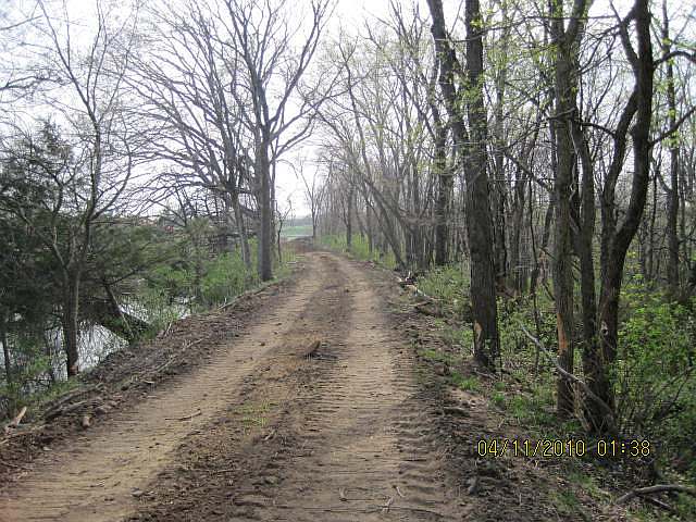
(04/11/10) The north end of the pasture looking southeast on old railroad bed. (rb).
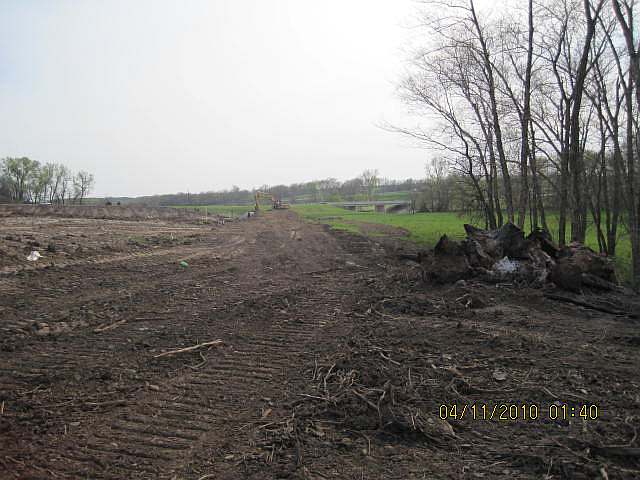
(04/11/10) Looking south towards Hwy 34. Note pond. (rb).
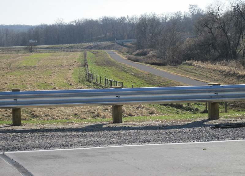
(04/11/10) Heading south to the pasture on the new trail, you can see small details of the cattle pass in background. (rb).
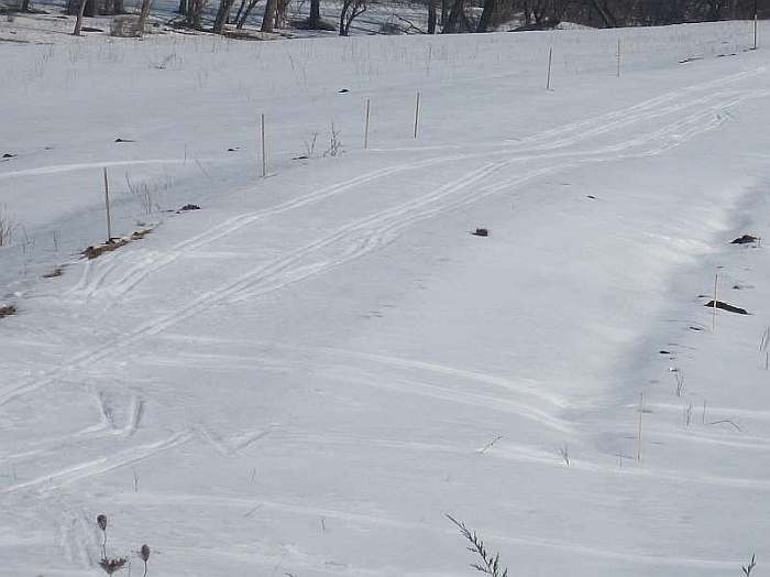
(03/24/10) Skiers have been using the un-finished trail on the old CB & Q railroad bed. (jfr)
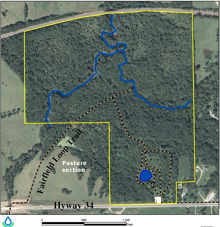
Whitham Woods in the yellow lines. Pasture area in the lower left. (More at the JCCB Whitham Woods webpage)
(11/08/09) Looking north from Business Hwy 34. The Loop Trail will follow this old railroad roadbed into Whitham Woods. (jfr)
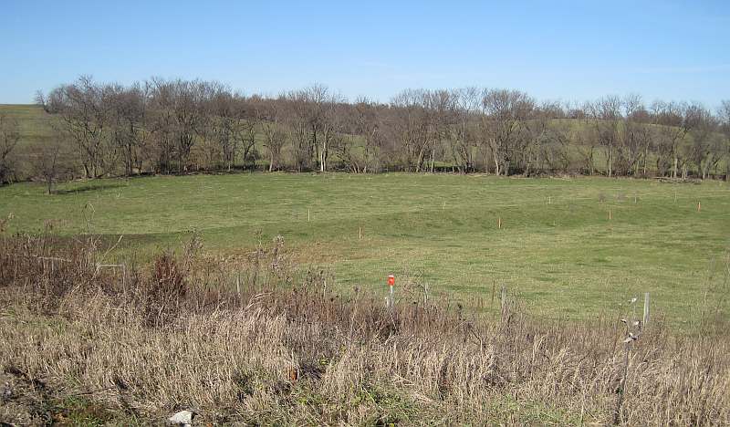
(11/08/09) This is currently being used as a cow pasture. The cows will be kept off the trail during construction which will start soon. (jfr)
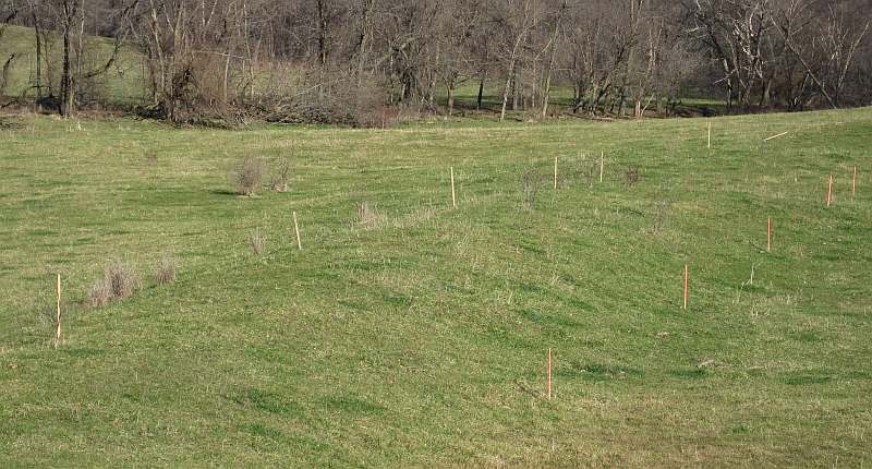
(11/08/09) Follow the surveyor's stakes straight back to the woods. No trains have run here since 1901. (jfr)
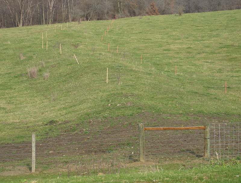
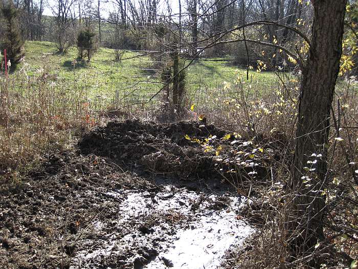
(12/05/09) Work has started on the railroad bed. (jfr)
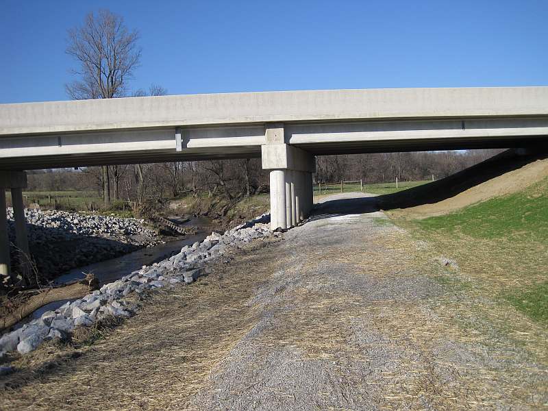
(11/08/09) West of Whitham Woods - the new bridge on Business Hwy 34, just south of the pasture. (jfr)
(11/08/09) Looking south onto the Iowa Dot Trail. (jfr)
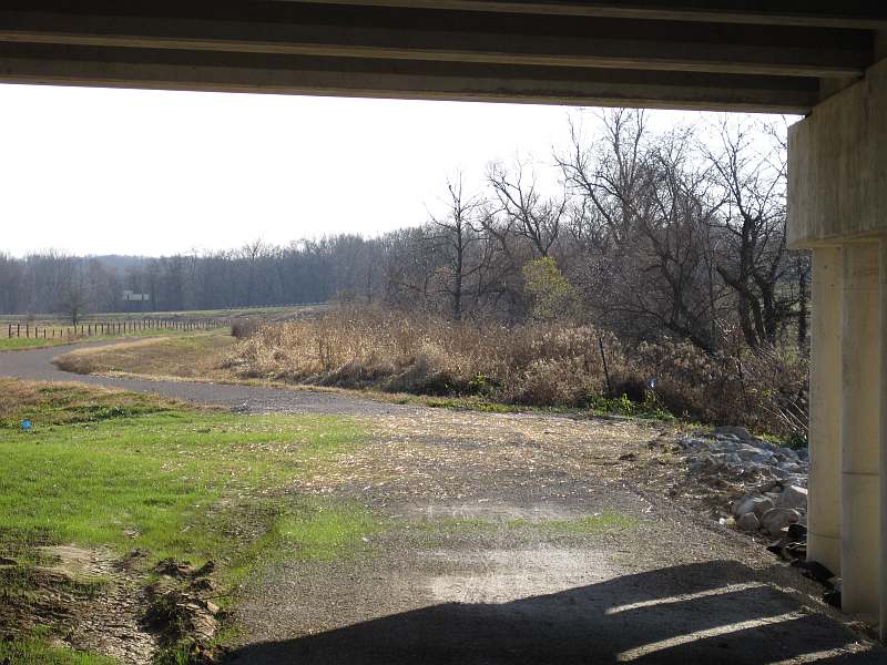
(11/08/09) Looking south at the 6-mile-long DOT section of the Loop Trail, from the highway. (jfr)
Photos by Jeff Fitz-Randolph (jfr) and Ron Blair (rb)
Applying Granular
Surface
- Sept 2010
Page updated 01/13/13, 03-25-16
Jefferson County Trails Council
Every effort is made to ensure accurate information is posted to the site. However, Jefferson County Trails Council does not warrant or guarantee the accuracy, reliability or timeliness of the content on this site or content which is referenced by or linked to this site. © 2001-2016 Jefferson County Trails Council, Fairfield, Iowa. Updated 05-12-16
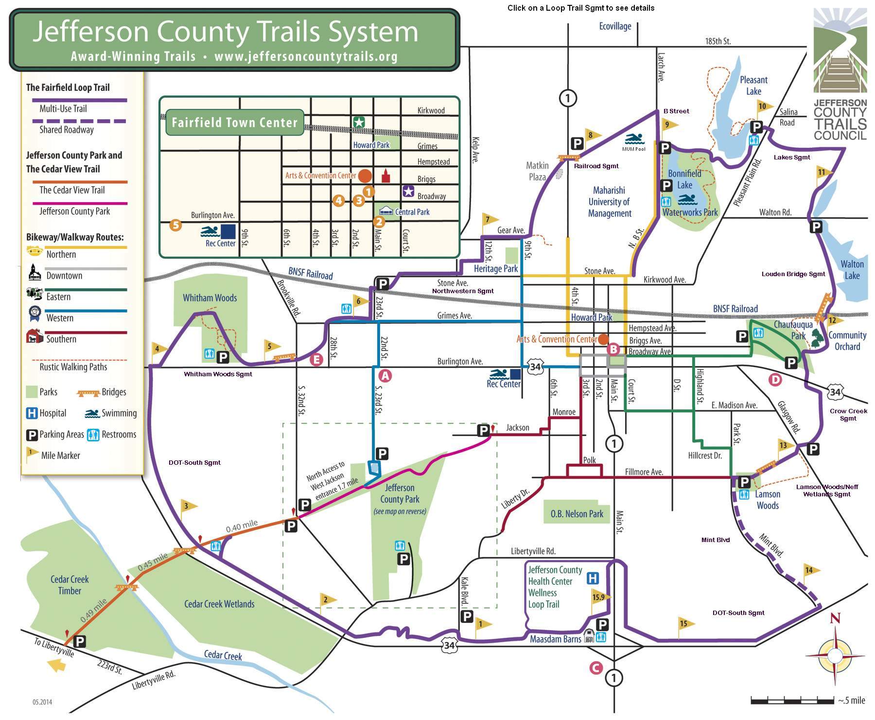
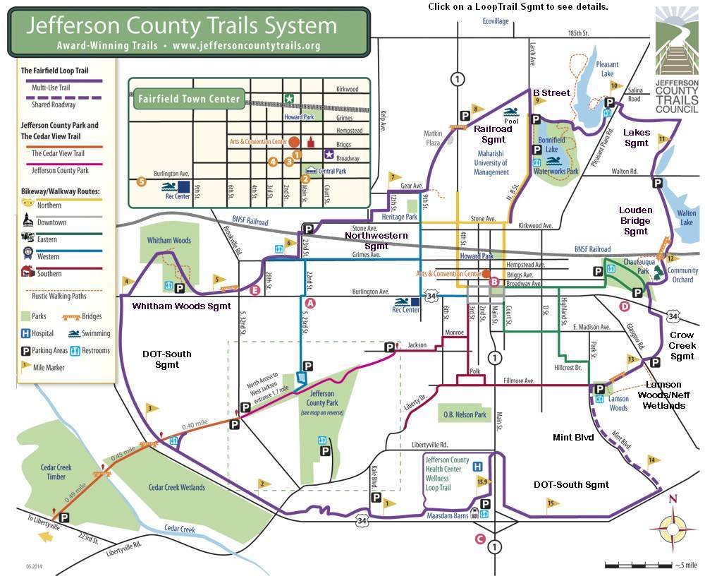
Click the Map to enlarge: