Construction of the trail through Whitham Woods - Fall 2009
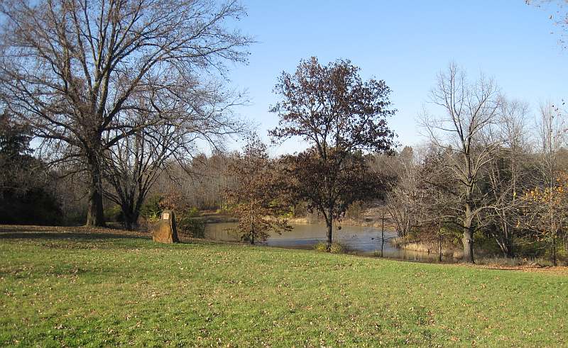
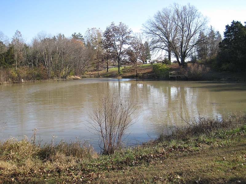
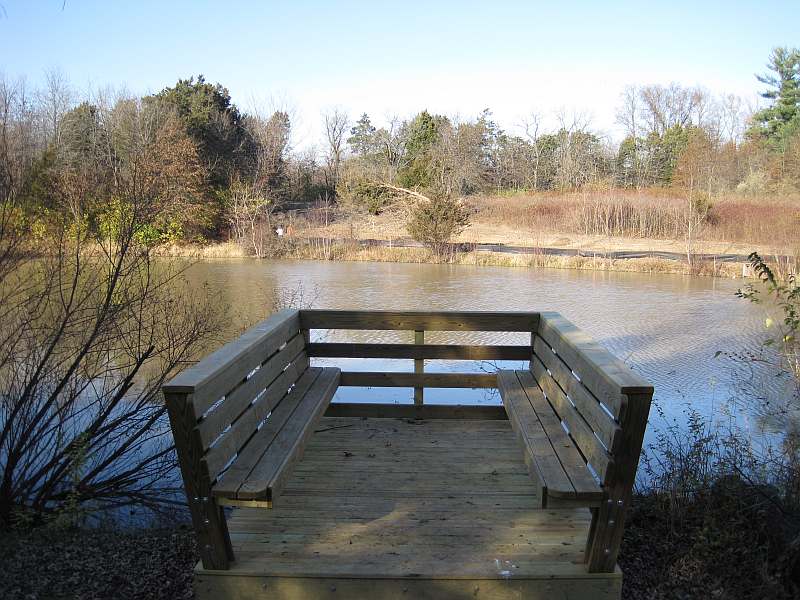
Whitham Woods, as seen from the parking lot. Walking trails circle the lake, and go into the woods.
The new Loop Trail section will utilize some of the current trails in Whitham Woods - seen under construction across the lake.
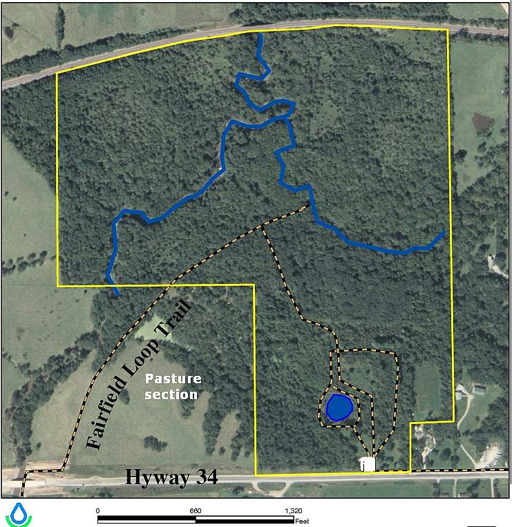
Map of Whitham Woods. The trails are marked by the yellow-black lines. (More at the JCCB Whitham Woods webpage)
This photo essay starts with the newest photos. Rainy weather delayed construction of the trail.
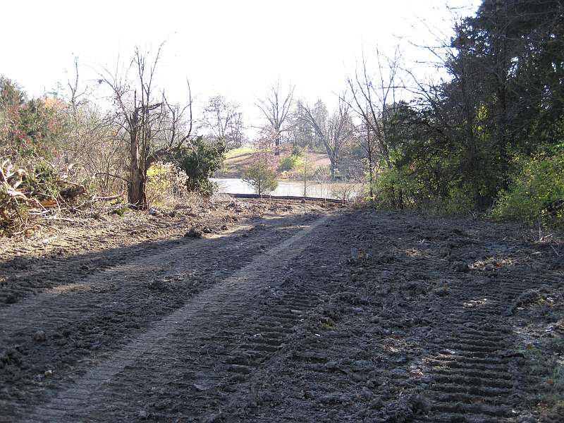
(Nov 2009) Let's head north on the under-construction trail from the Whitham Woods parking lot.
The Loop Trail curves to the left to go along the lake. Another trail goes straight.
The lake is to the left. Photo by Ron Blair
Looking back at the lake.
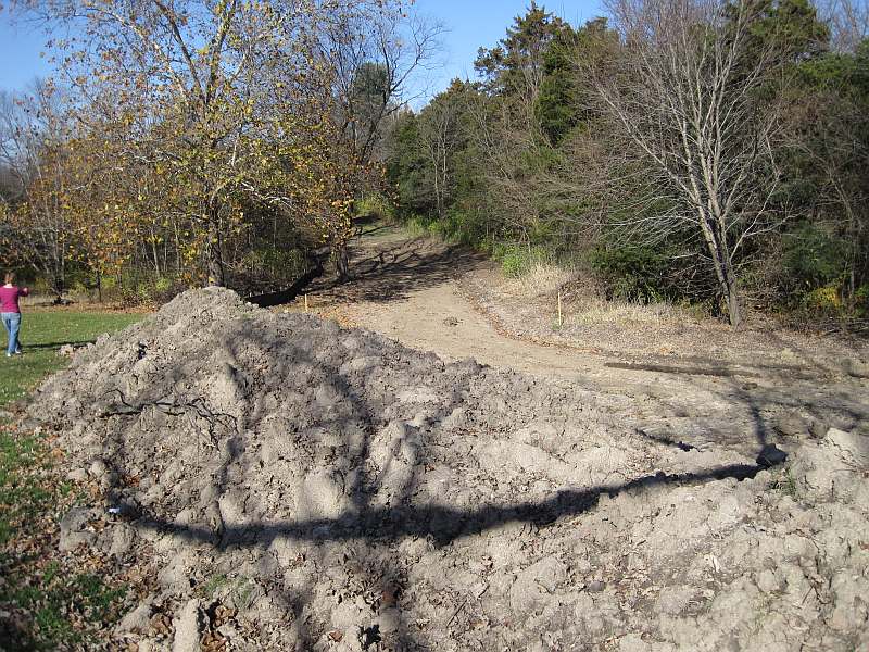
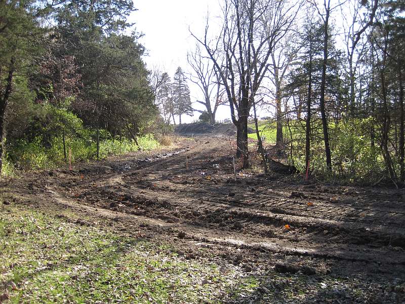
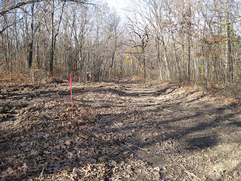
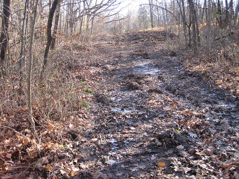
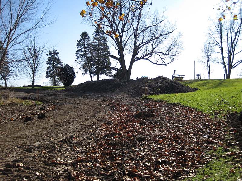
The Loop Trail curves uphill.
A bulldozer pushed the brush to the side.
The trail heads downhill.
The hill gets steeper. The final trail will not be this wide.
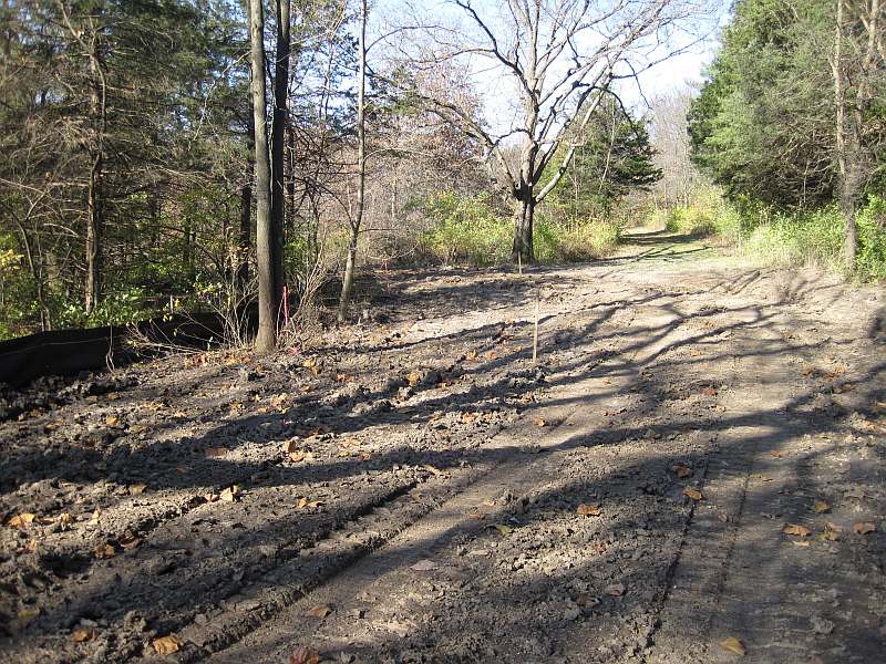
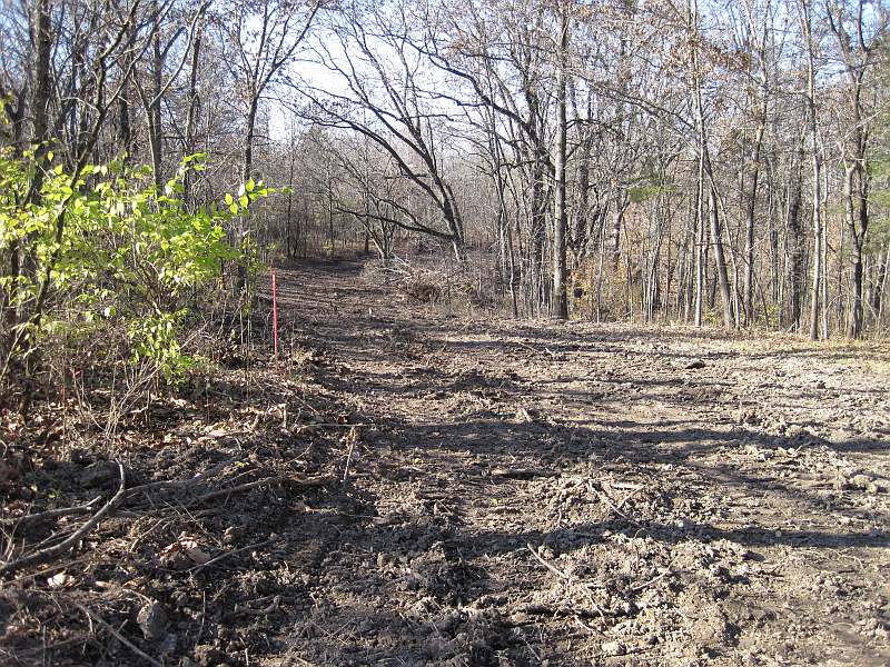
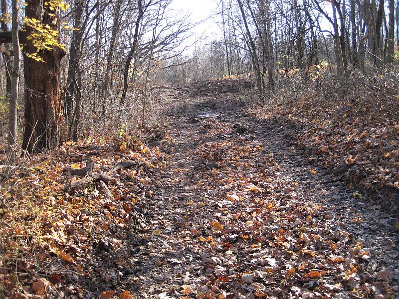
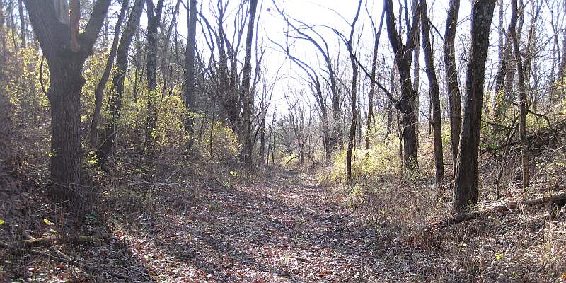
This section doesn't need as much clearing out.
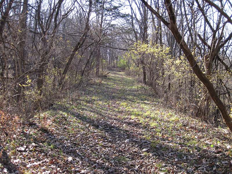
At the red marker, instead of continuing north, we turn left to follow the old railroad, built in 1858. (Details)
Now we are on the old roadbed of the Burlington and Missouri River Railroad (later CB&Q). Note how straight and level it is.
In 1901 the railroad changed the route to the north of Whitham Woods and dualized it, where the BNSF now runs.
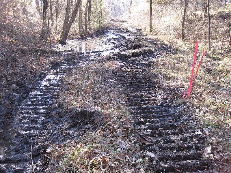
Drainage needs to be attended to here.
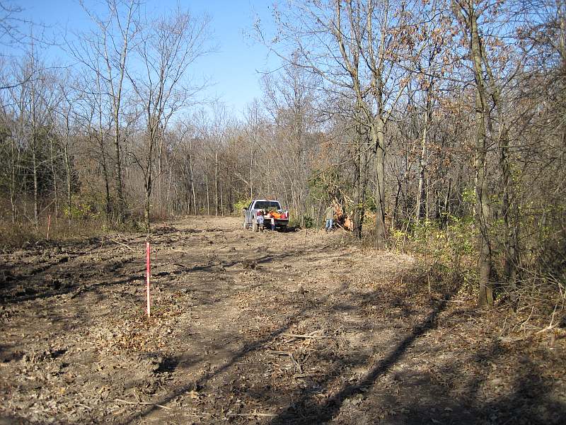
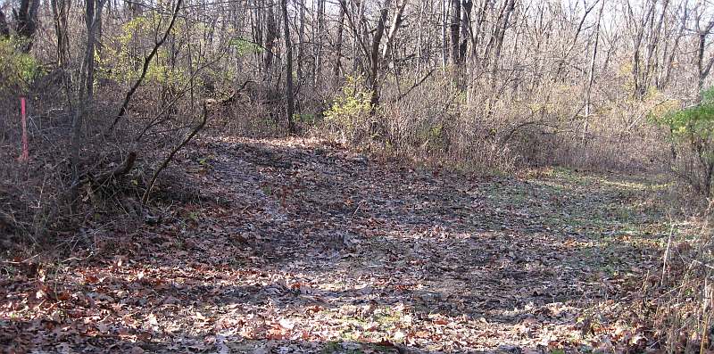
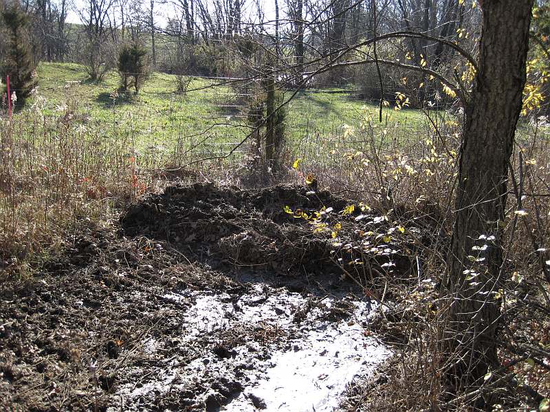
This is the southwestern border of Whitham Woods. Ahead is a cow pasture, which we will see later.
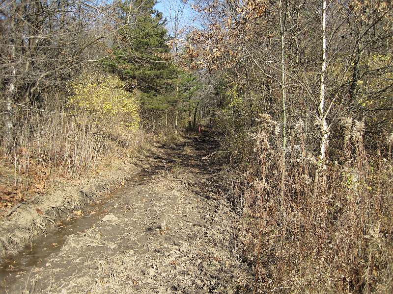
Let's go back the way we came.
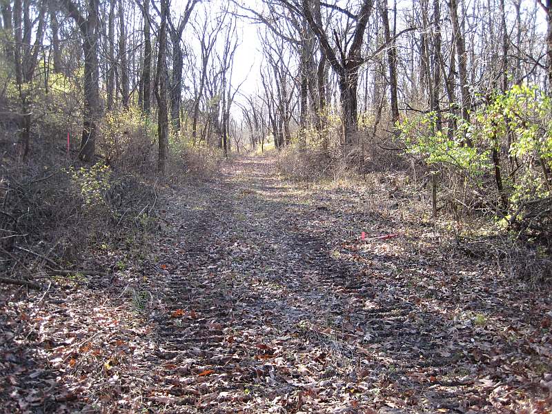
Instead of turning right to stay on the Loop Trail, let's continue east on the railroad bed to the old RR bridge.
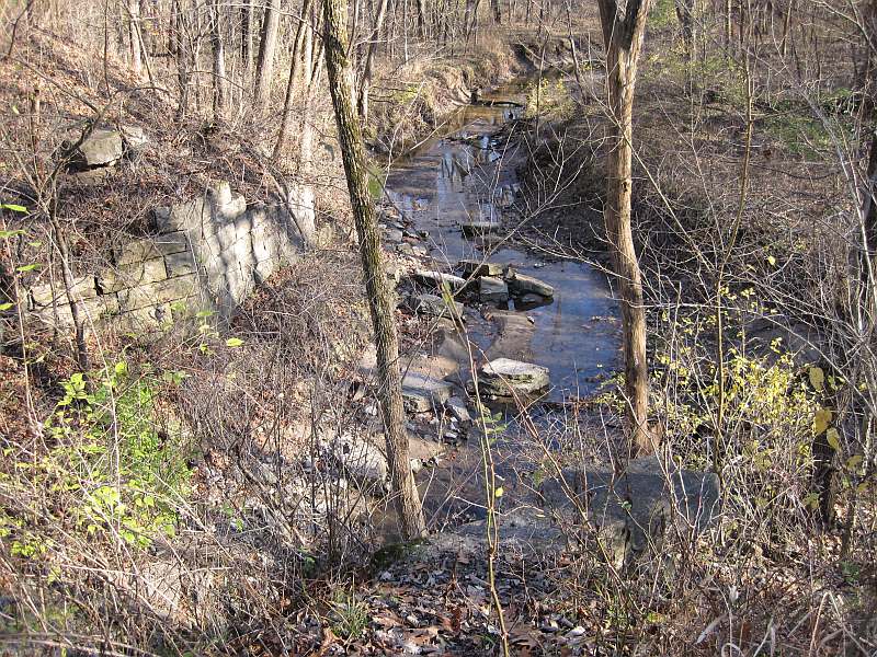
Shortly we come to the old railroad bridge abutments.
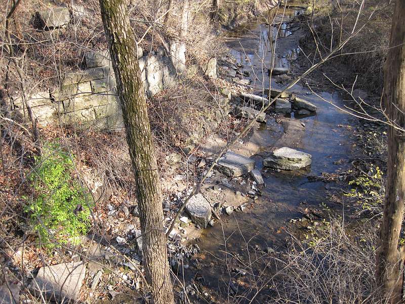
The bridge was built about 1858, and was abandoned in 1901 when the tracks moved north.
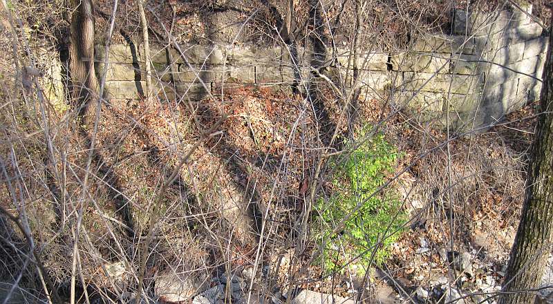
Many of the abutment stones have fallen into the creek. Note the western abutment in the foreground.
Now we go back up the hill, back to the lake.
We have gotten off the Loop Trail Section and we approach the lake.
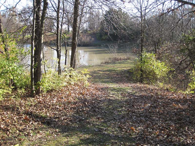
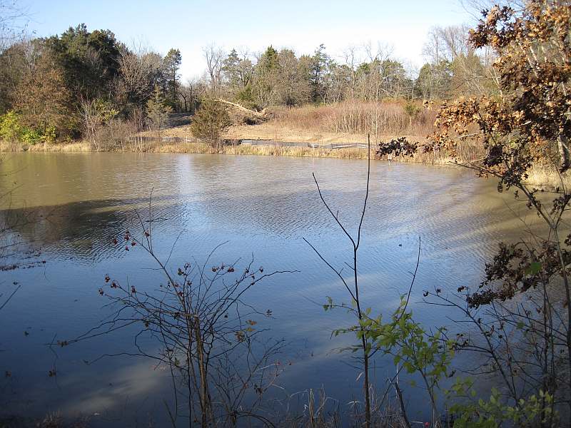
The lake.
The plastic barrier keeps the dirt from washing into the lake.
The Loop Trail heads south out of Whitham Woods and goes east along Business Highway 34. Photos here
North of the bridge, the Loop Trail will follow this old railroad roadbed into Whitham Woods. The creek is behind the trees.
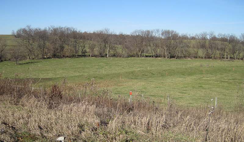
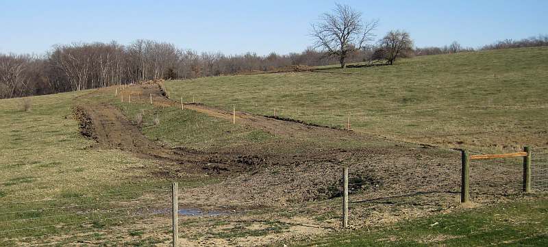
This is currently being used as a cow pasture. The cows will be kept off the trail. Construction will start soon.
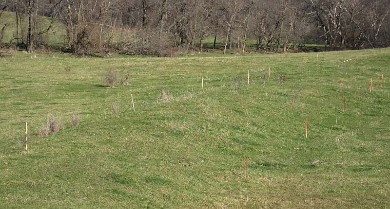
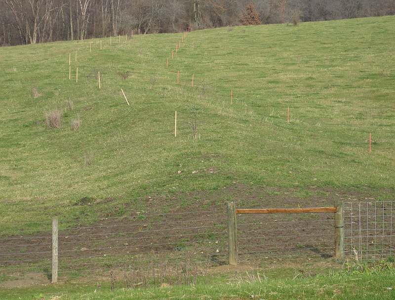
Follow the surveyor's stakes straight back to the woods. No trains have run here since 1901.
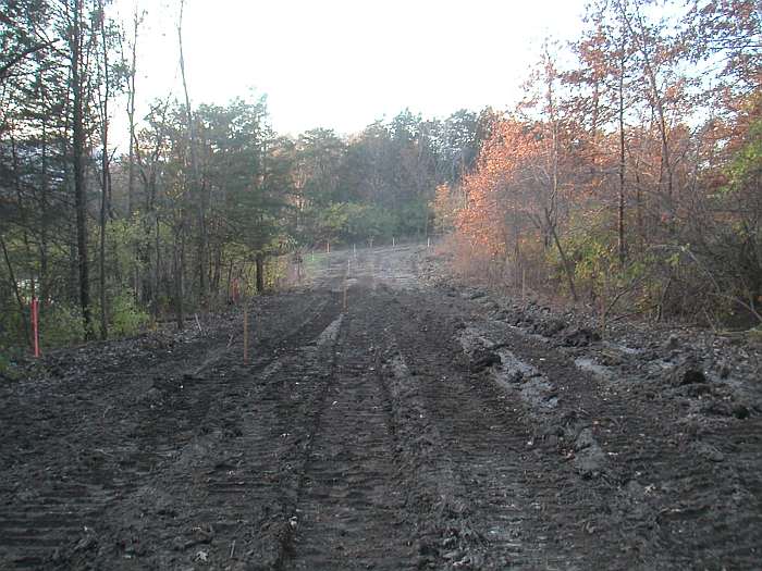
Work has started on the railroad bed. 12/05/09
Photos by Jeff Fitz-Randolph
Applying Granular
Surface
- Sept 2010
Page updated 01/13/13, reformatted 05-12-16
Jefferson County Trails Council
Every effort is made to ensure accurate information is posted to the site. However, Jefferson County Trails Council does not warrant or guarantee the accuracy, reliability or timeliness of the content on this site or content which is referenced by or linked to this site. © 2001-2016 Jefferson County Trails Council, Fairfield, Iowa. Updated 05-12-16
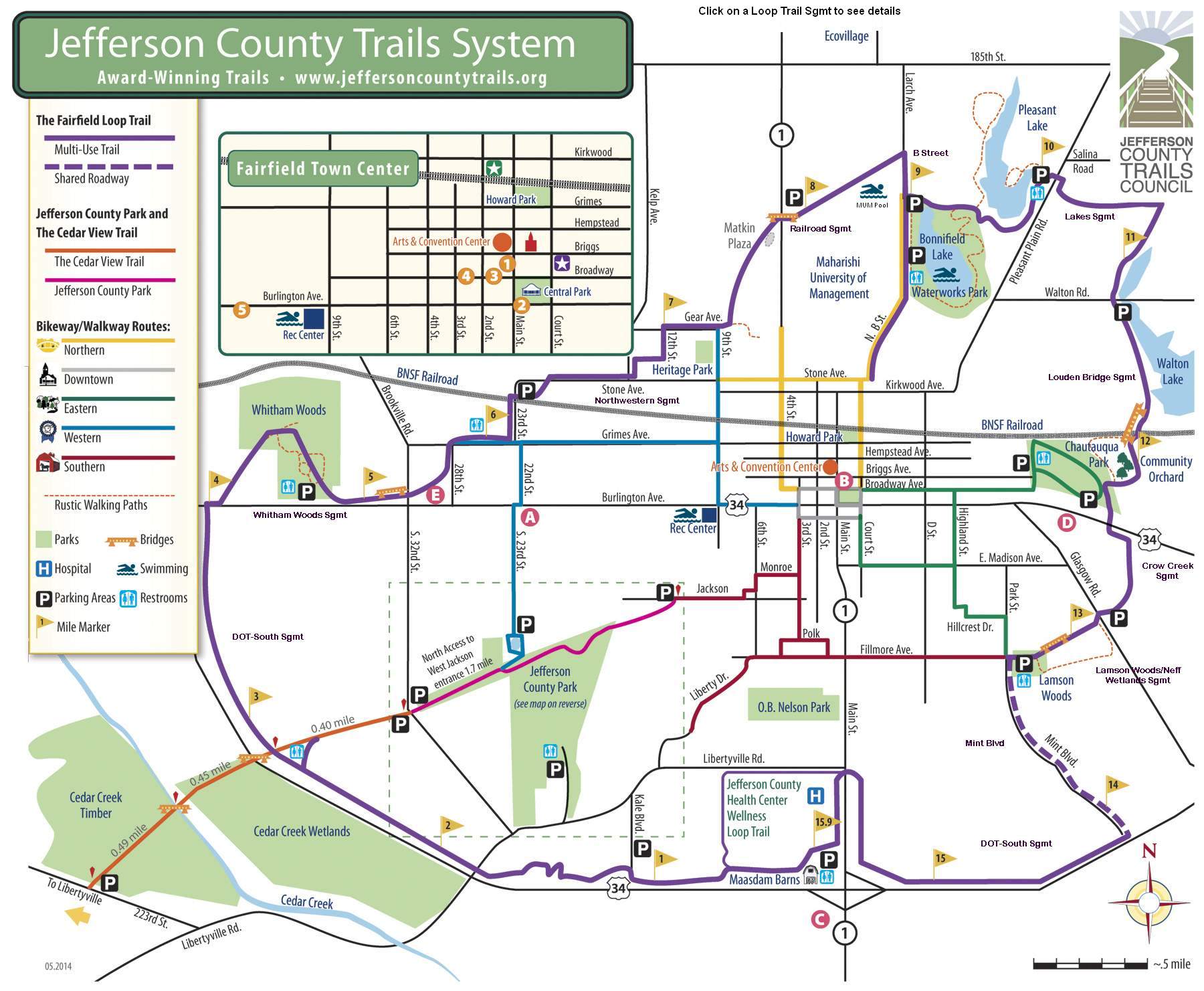
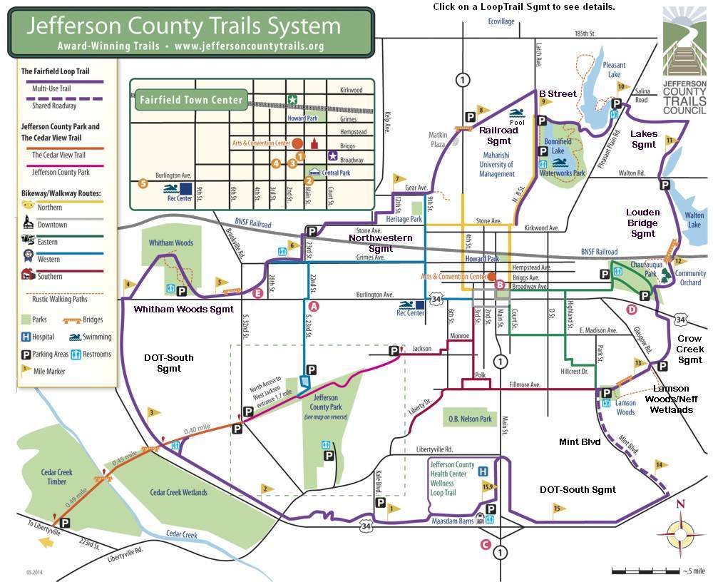
Click the Map to enlarge: