Whitham Woods segment of the Fairfield Loop Trail
The trails are marked by the dashed lines. The Whitham Woods boundary is yellow. (More at the JCCB Whitham Woods webpage)
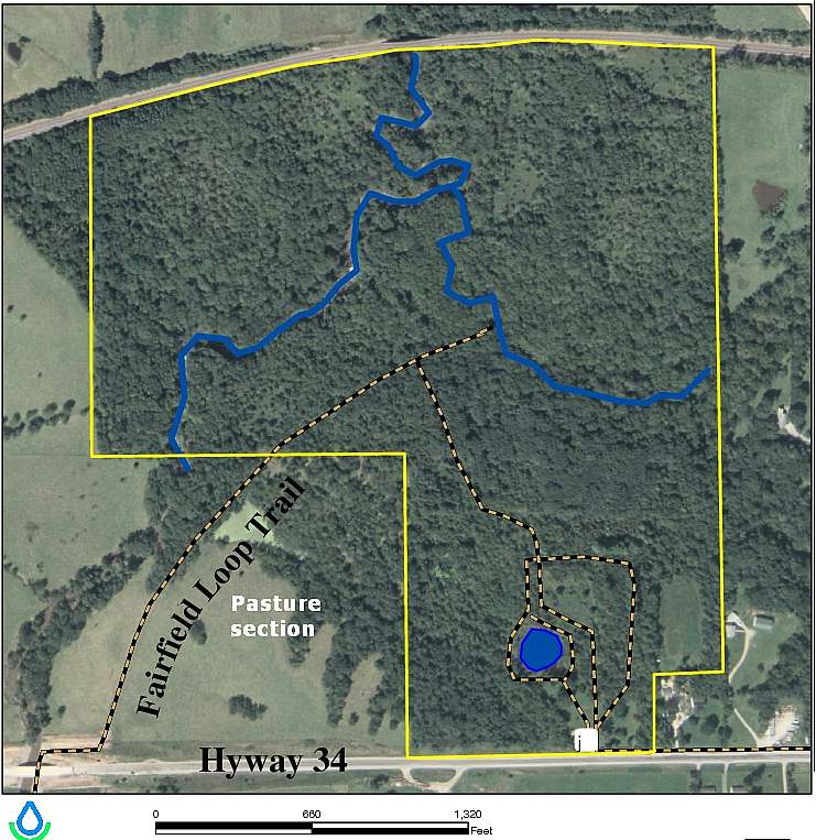
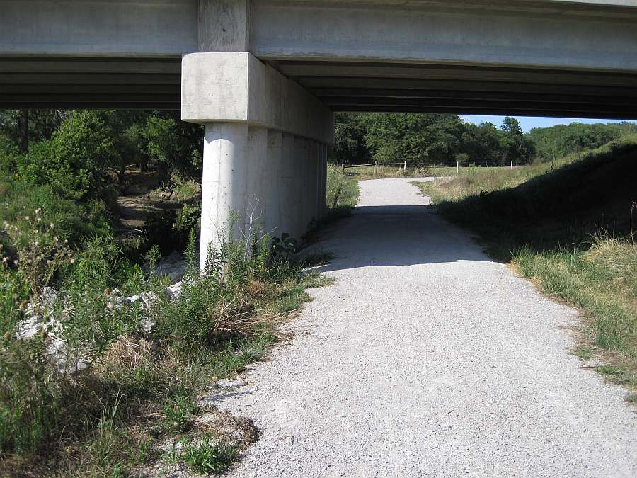
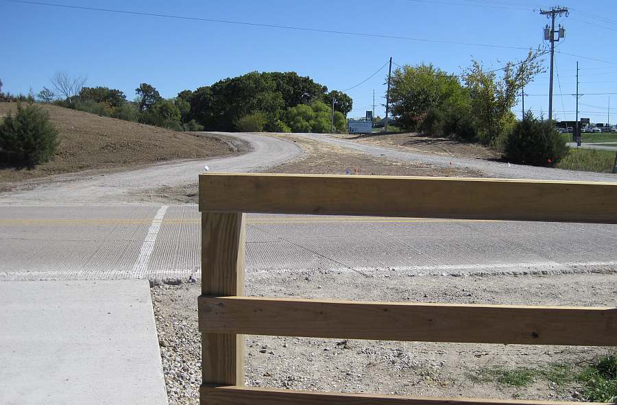
The western end of the Whitham Woods segment begins under Business Hwy 34, at the north end of the Iowa DOT Trail.
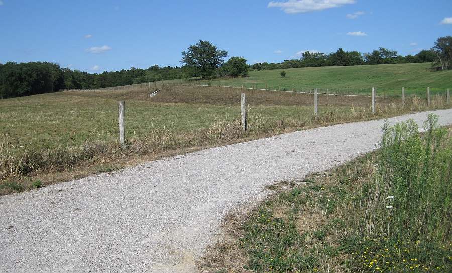
The trail then turns right (east) to follow the fence-line, then turns left (north) to go through the cow pasture.
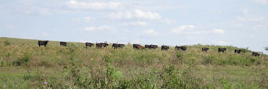
Cattle on parade.
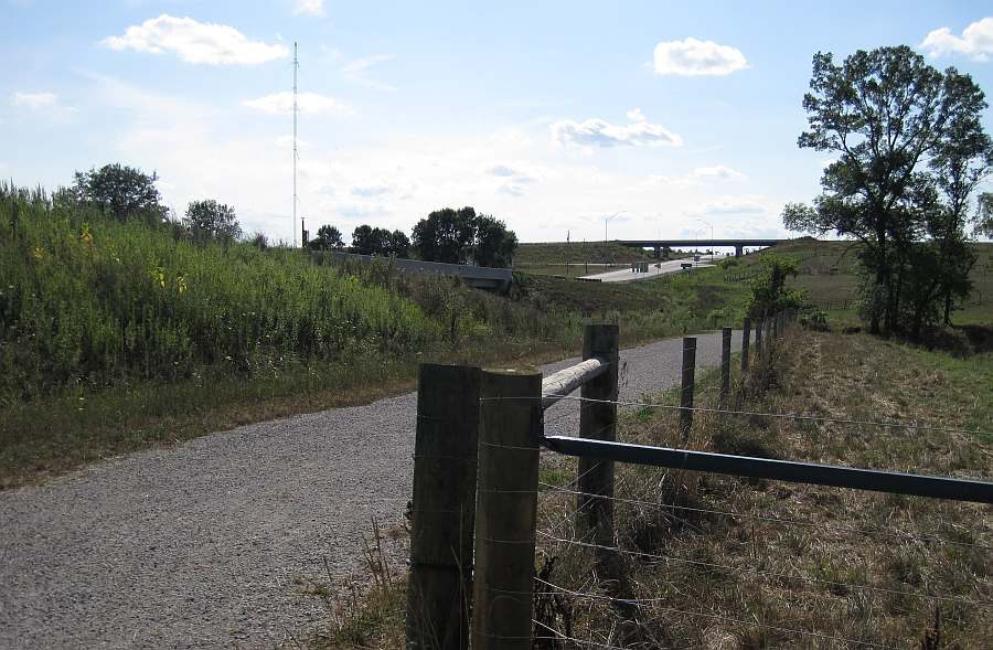
Nearby is the intersection of Business 34 and the freeway portion of US 34.
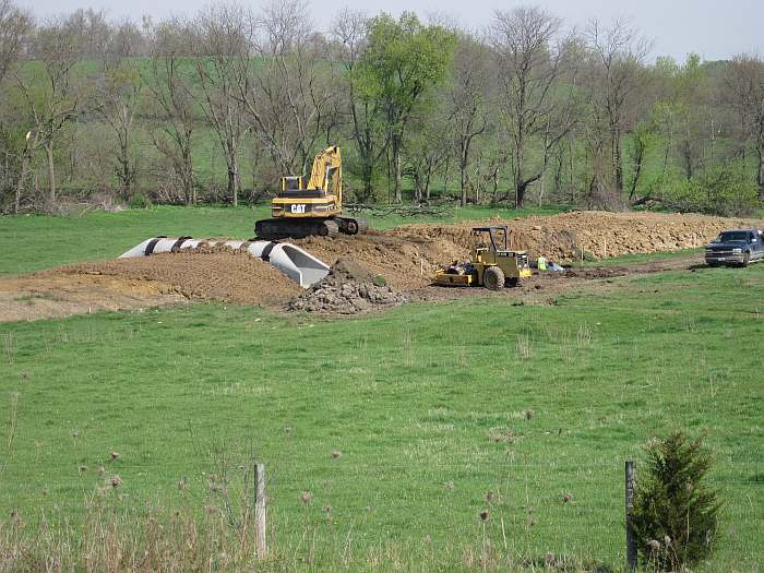
The trail rises to go over the cattle-crossing tunnel.
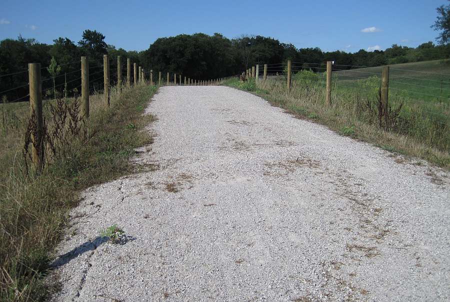
The tunnel will let cattle cross to the other side of the pasture (taken 04/13/10).
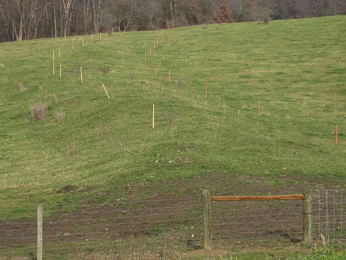
This is how the pasture looked before construction. The stakes show the old railroad bed. No trains have run here since 1901.
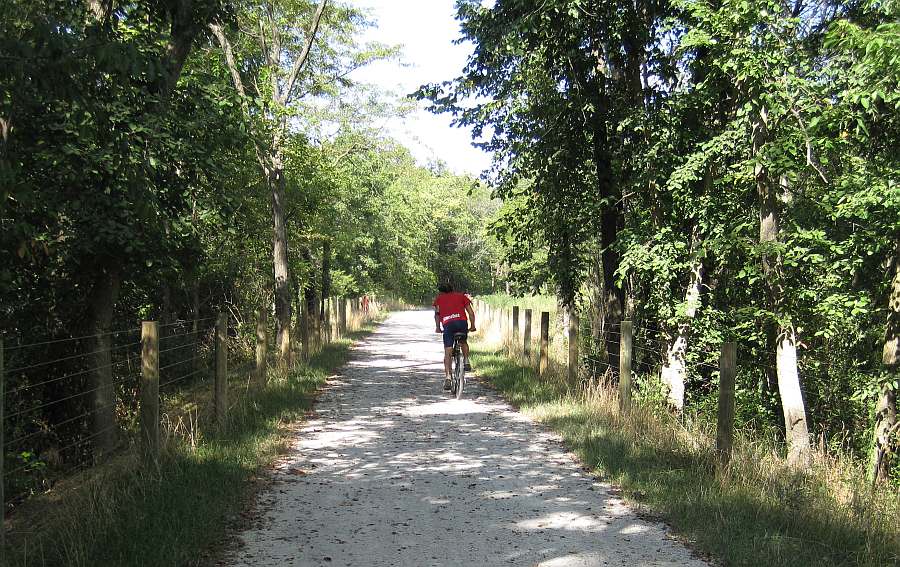
Entering the Whitham Woods, still on the old railroad bed.
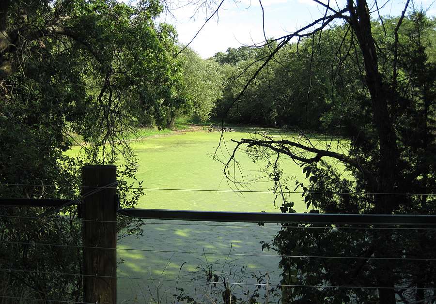
A small pond next to the trail.
We move further eastward into Whitham Woods on the old railroad bed.
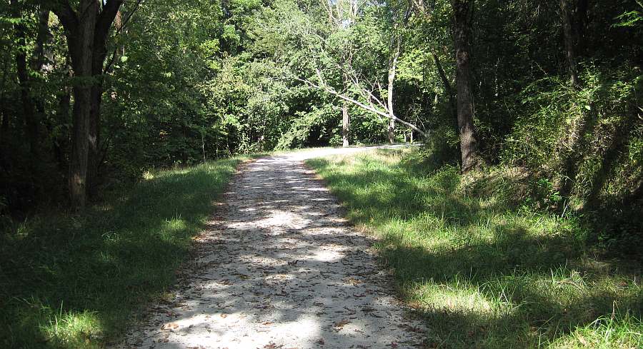
The main trail turns right, away from the railroad bed, and goes up a hill.
Continue straight ahead on a grassy trail to see the old railroad-bridge abutments (or see them here).
Going uphill, definitely off the railroad bed now.
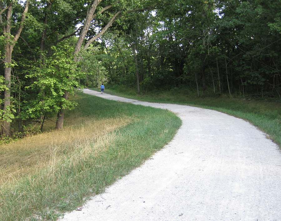
Built-in water bars help control erosion.
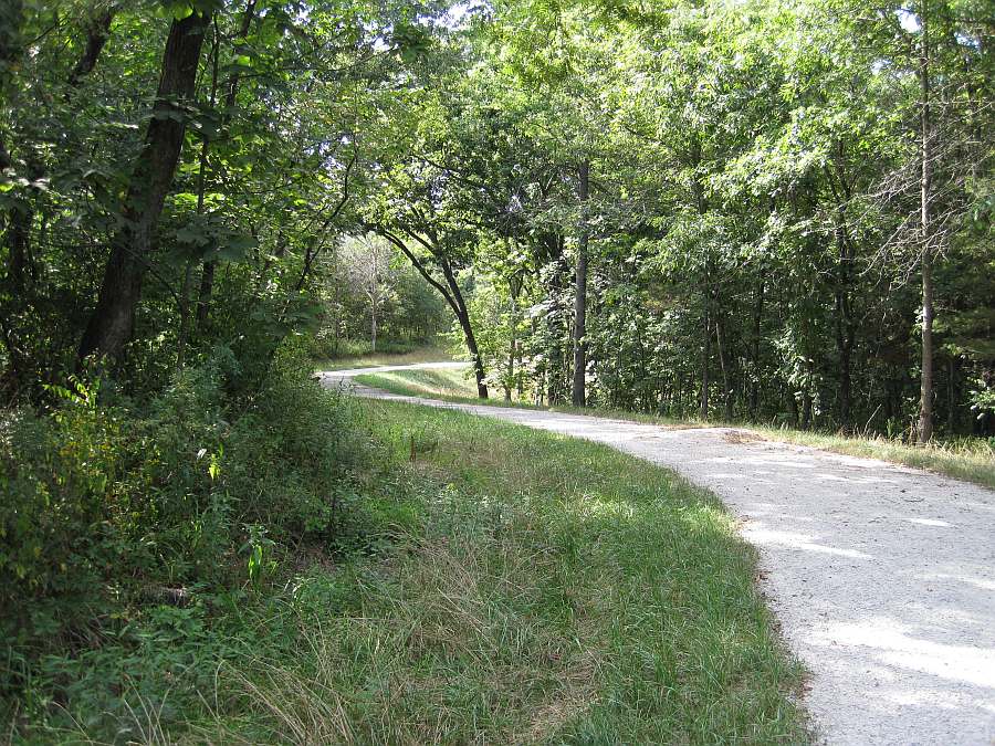
Now we can see the lake, almost, through the trees.
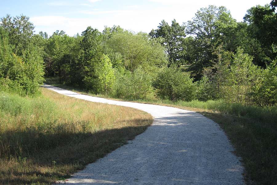
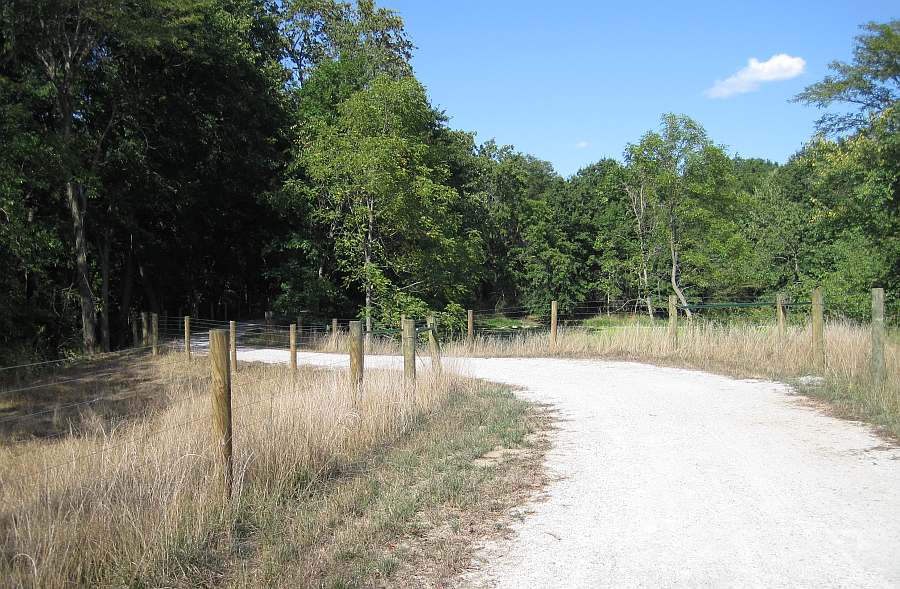
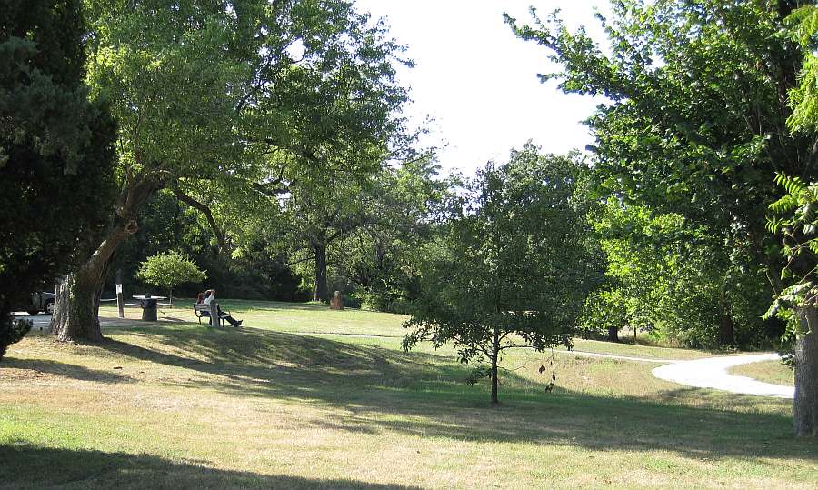
Approaching the Whitham Woods parking lot and Burlington Ave.
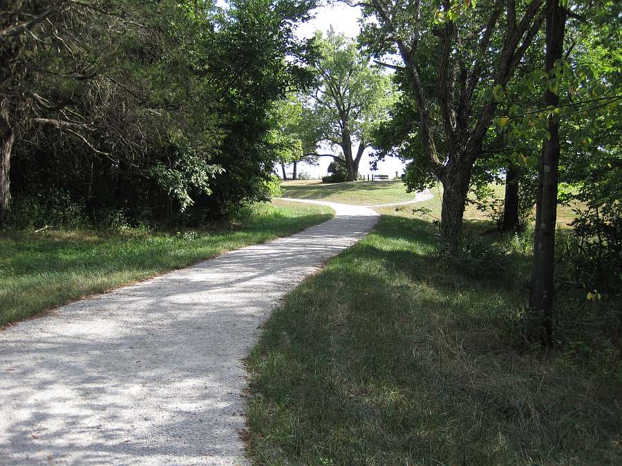
Looking back towards the Loop Trail from the Whitham Woods entrance.
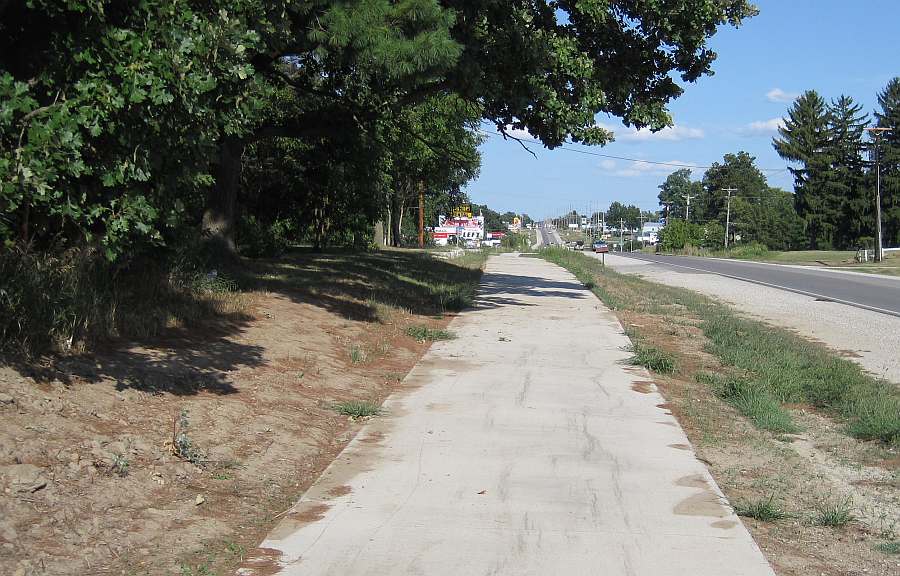
The Loop Trail emerges from Whitham Woods onto the concrete trail along Burlington Ave.
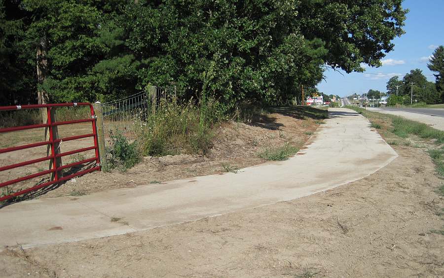
Looking east down Burlington Ave towards Brookville Rd.
Looking back (west) on Burlington Ave towards Whitham Woods.
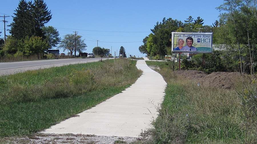
Looking east. Take the sidewalk to the long bridge, then turn left onto the bridge.
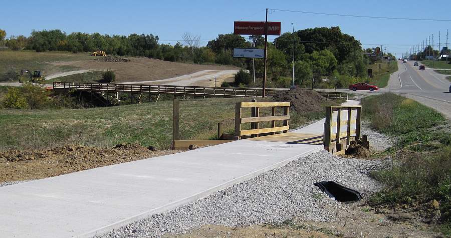
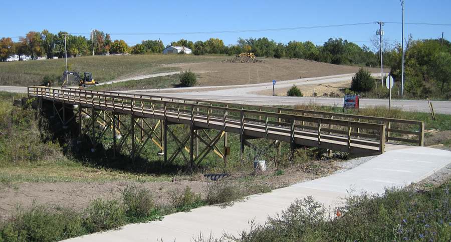
Follow the bridge along Brookville Rd.
Then cross Brookville Rd to enter the Northwest segment.
Photos by Jeff Fitz-Randolph, Aug thru Oct 2011
Applying Granular
Surface
- Sept 2010
Page updated 05-12-16
Jefferson County Trails Council
Every effort is made to ensure accurate information is posted to the site. However, Jefferson County Trails Council does not warrant or guarantee the accuracy, reliability or timeliness of the content on this site or content which is referenced by or linked to this site. © 2001-2016 Jefferson County Trails Council, Fairfield, Iowa. Updated 05-12-16
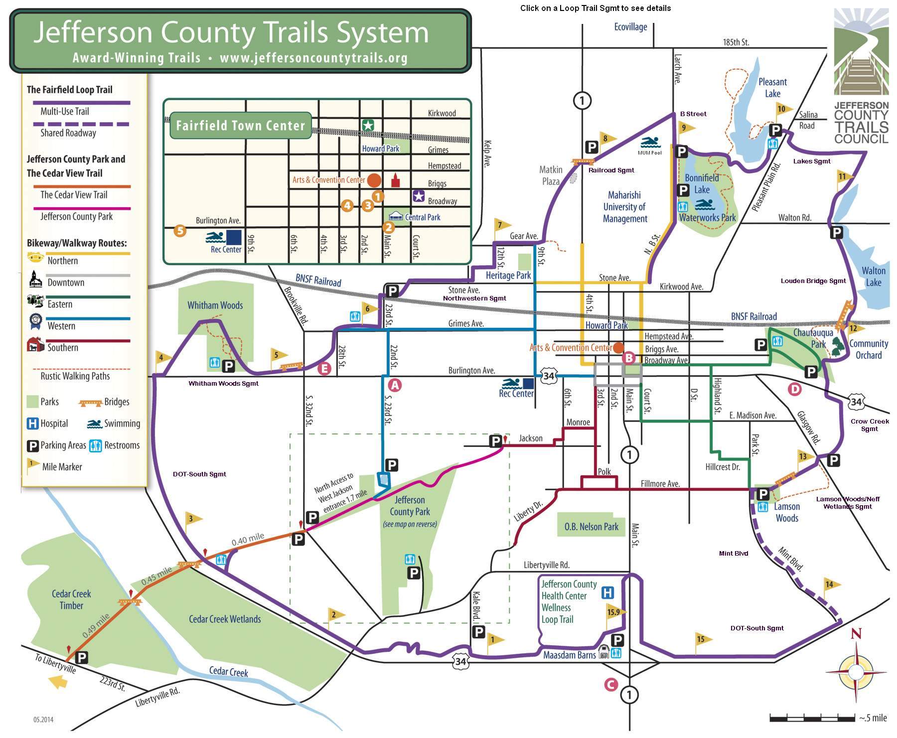
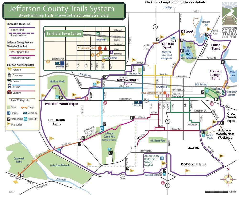
Click the Map to enlarge: