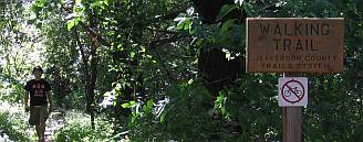
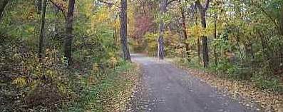
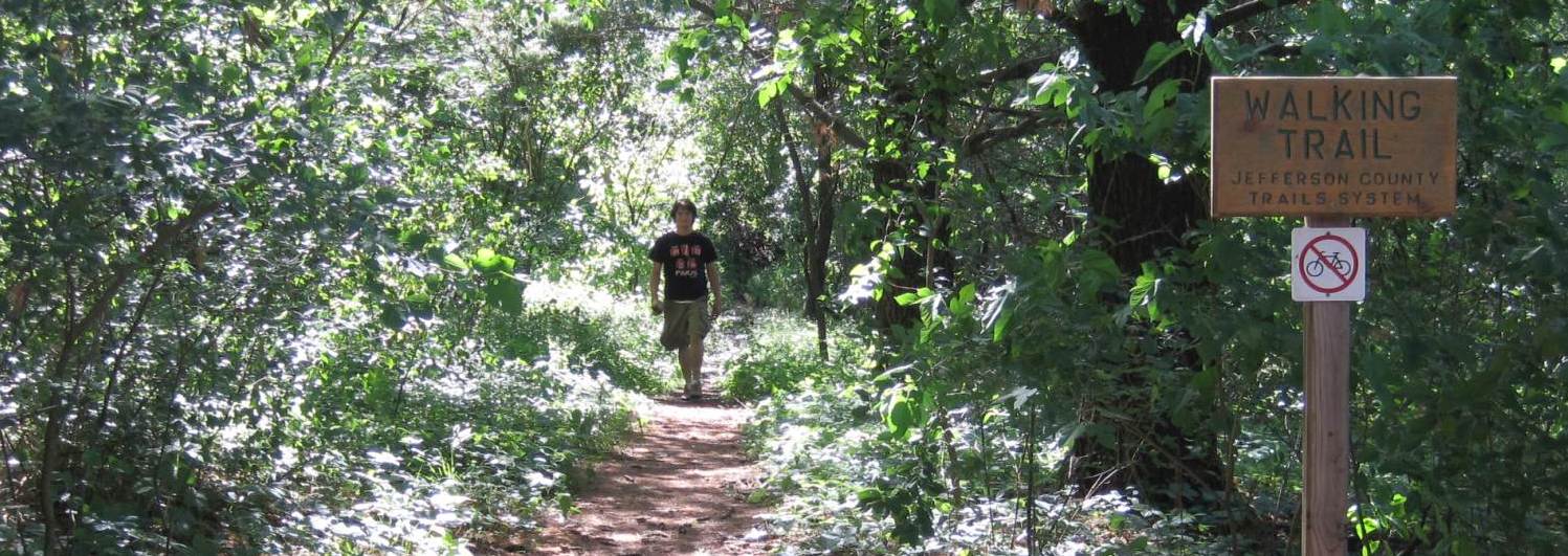
Trails in Jefferson County Park
For more information, go to the Jefferson County Park web page, managed by the Jefferson County Conservation Board.
Data for Jefferson County Park trails:
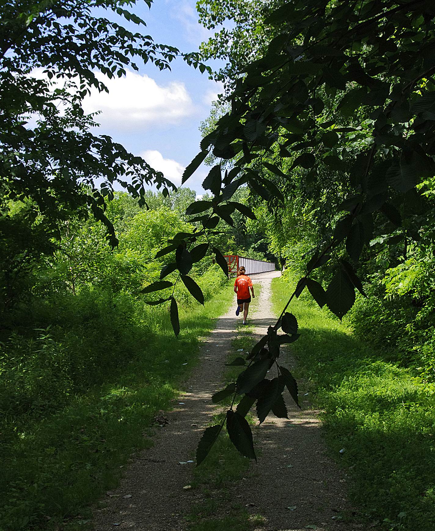
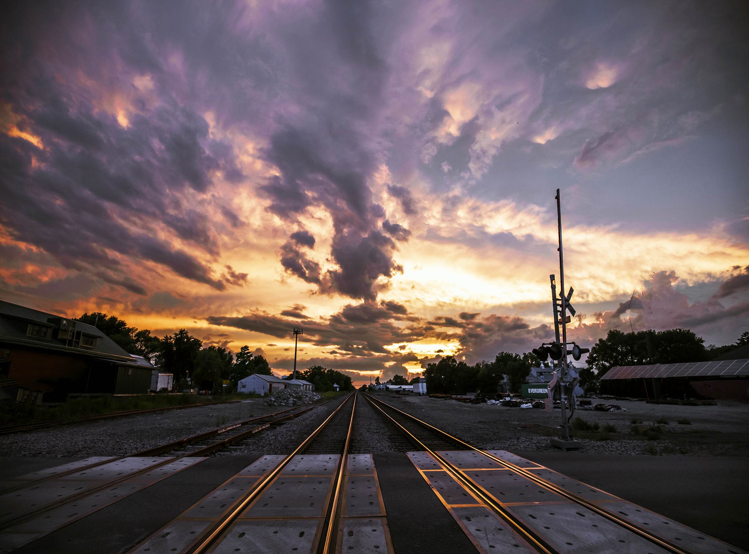
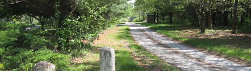
Length= There are about eight miles of trails in Jefferson County Park. About a mile of trail uses the abandoned Rock Island Railroad roadbed.
Surface= Crushed limestone.
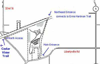
The Main Entrance to the Park is on Libertyville Rd, 1.3 miles west of Iowa Hwy 1.
The Northeast Entrance to the Park is for walkers and bicyclists only, via the Erma Hartman Trail.
The North Access, on 32nd St., 0.9 miles south of Hwy 34, is for walkers and bicyclists only. Connects to the Cedar View Trail. Parking available.
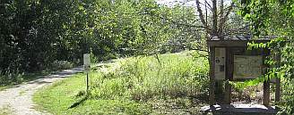
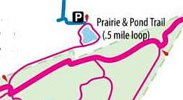
The new Prairie & Pond Trail provides access to the northern trails of the park via S. 23rd St.
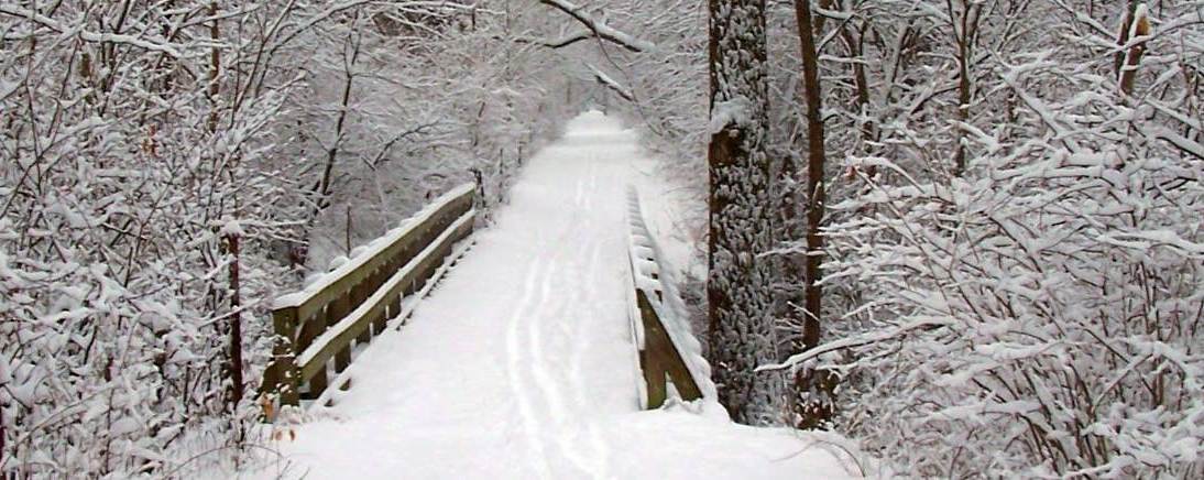
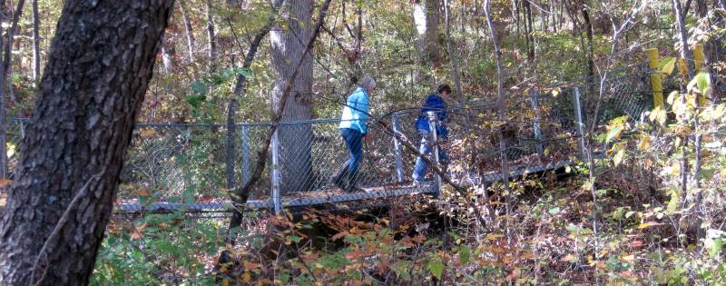
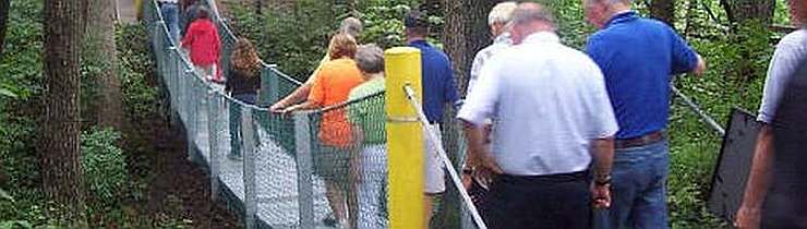
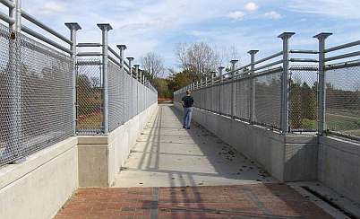
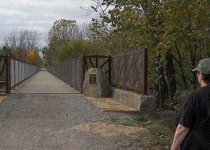
Below: The new Swinging Bridge in Jefferson County Park, a replacement for the worn-out bridge.
Travel Jefferson County Park and others with Werner Elmker via a YouTube video, "Jefferson County Park, Cedar View Trail & Whitham Woods"
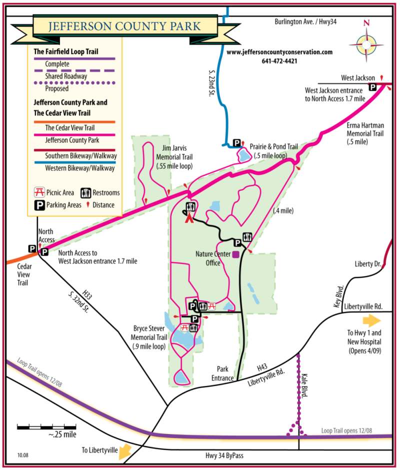
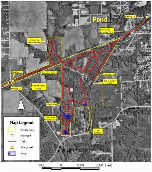
Below: Location map of Jefferson County Park, and a detailed map of the park and surroundings.

Cedar View Trail
Bridge over Cedar Creek on the Cedar View Trail. Photo by Werner Elmker.
Below: The Cedar View Trail utilizes the roadbed of the former Rock Island Railroad. But since the original RR bridge had been dismantled in 1982, a new trail bridge was build over Cedar Creek in 2002. See more at Judy Bales website. And on the Jefferson County Conservation Board website.
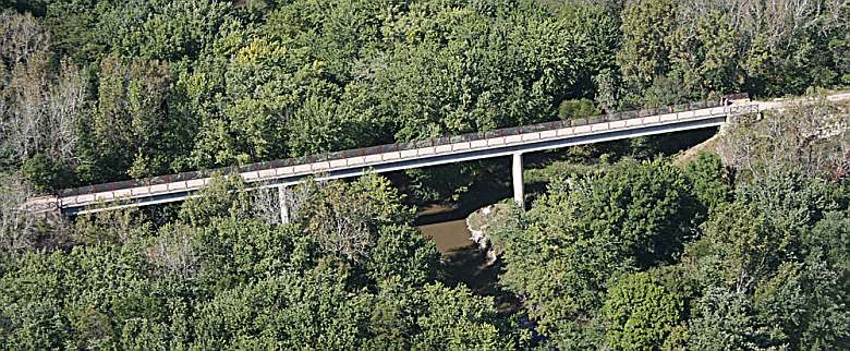
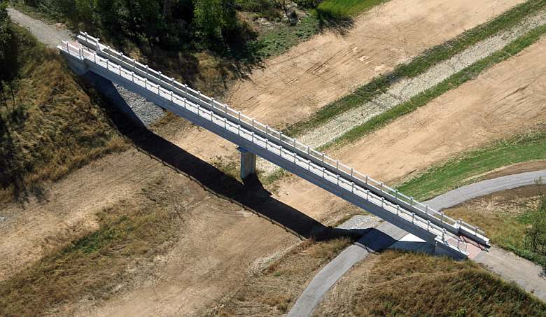
Below: Then in 2007 the Iowa DOT built a bridge to allow the trail to cross over their newly built Hwy 34 bypass. Cedar View Bridge # 2 under construction.
Look at Judy Bales' website pages about the bridges, and about community involvement.
See photo essays about Cedar View Trail are here.
Travel Cedar View Trail and others with Werner Elmker via a YouTube video, "Jefferson County Park, Cedar View Trail & Whitham Woods"
Data for Cedar View Trail:
Length= 1.4 miles from 32nd St to 223rd St (on the abandoned Rock Island Railroad roadbed), then another 3.0 miles to Libertyville (using shared county roads).
Surface= Crushed limestone between 32nd Street and 223rd Street. The rest, on shared roadway, consists of dirt, gravel or concrete.
East Entry= 32nd St., 0.9 miles south of Business Hwy 34. Connects to the North Access of Jefferson County Park.
West Entry= Libertyville Rd and Hemlock Ave, in Libertyville.
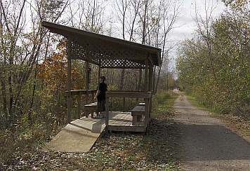
Restroom: At the Loop Trail intersection.
Parking: At 32nd Street, and at 223rd Street.
Below: The shelter we built in 1999.
Below: The bridge over the Hwy 34 bypass, built by the Iowa DOT.
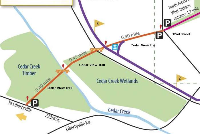
Below: Detail map of the Cedar View Trail.
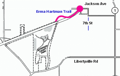
Erma Hartman Trail
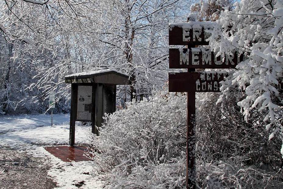
East entrance to the Erma Hartmann Trail. Photo by Werner Elmker
The Erma Hartman Trail allows walkers and bicyclists to enter Jefferson County Park from the east. There is a parking lot on Jackson Ave.
Data for Erma Hartman Trail:
Length= 0.5 miles. Passes through Oakwood Nursery on the abandoned Rock Island Railroad roadbed.
Surface= Crushed limestone.
East Entry= Jackson Avenue, west of 7th St. Parking lot at the entrance.
West Entry= The Northeast connection of the Jefferson County Park.
Below: Map of Erma Hartman Trail. From the east it takes you into Jefferson County Park..
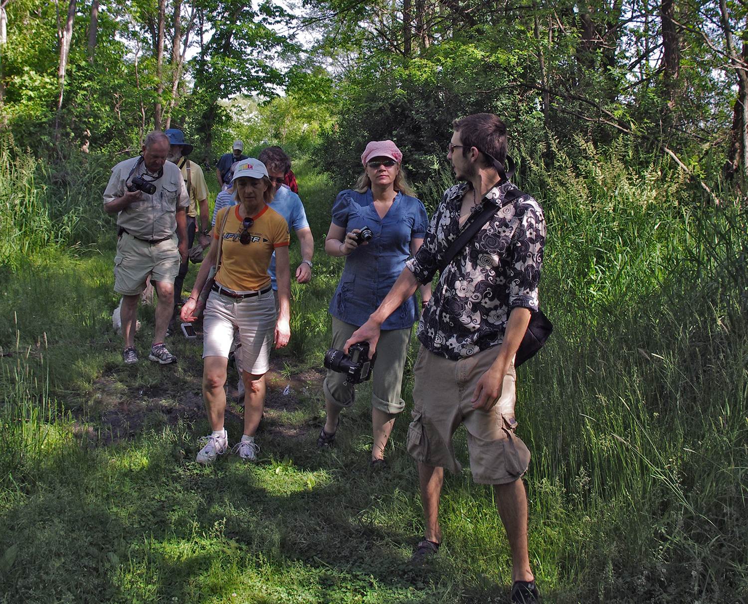
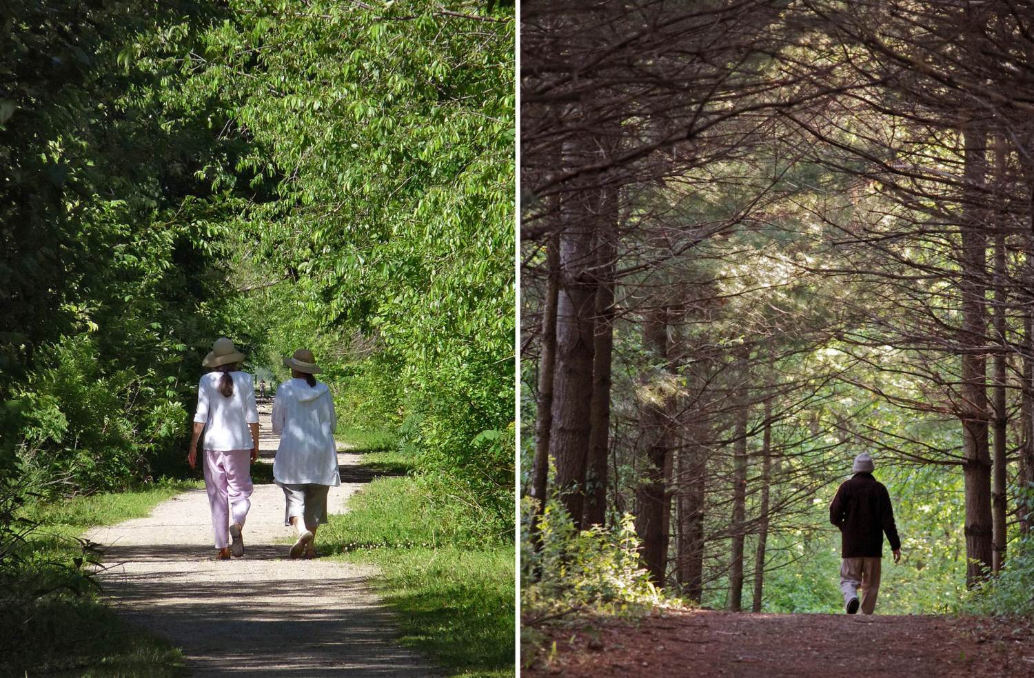
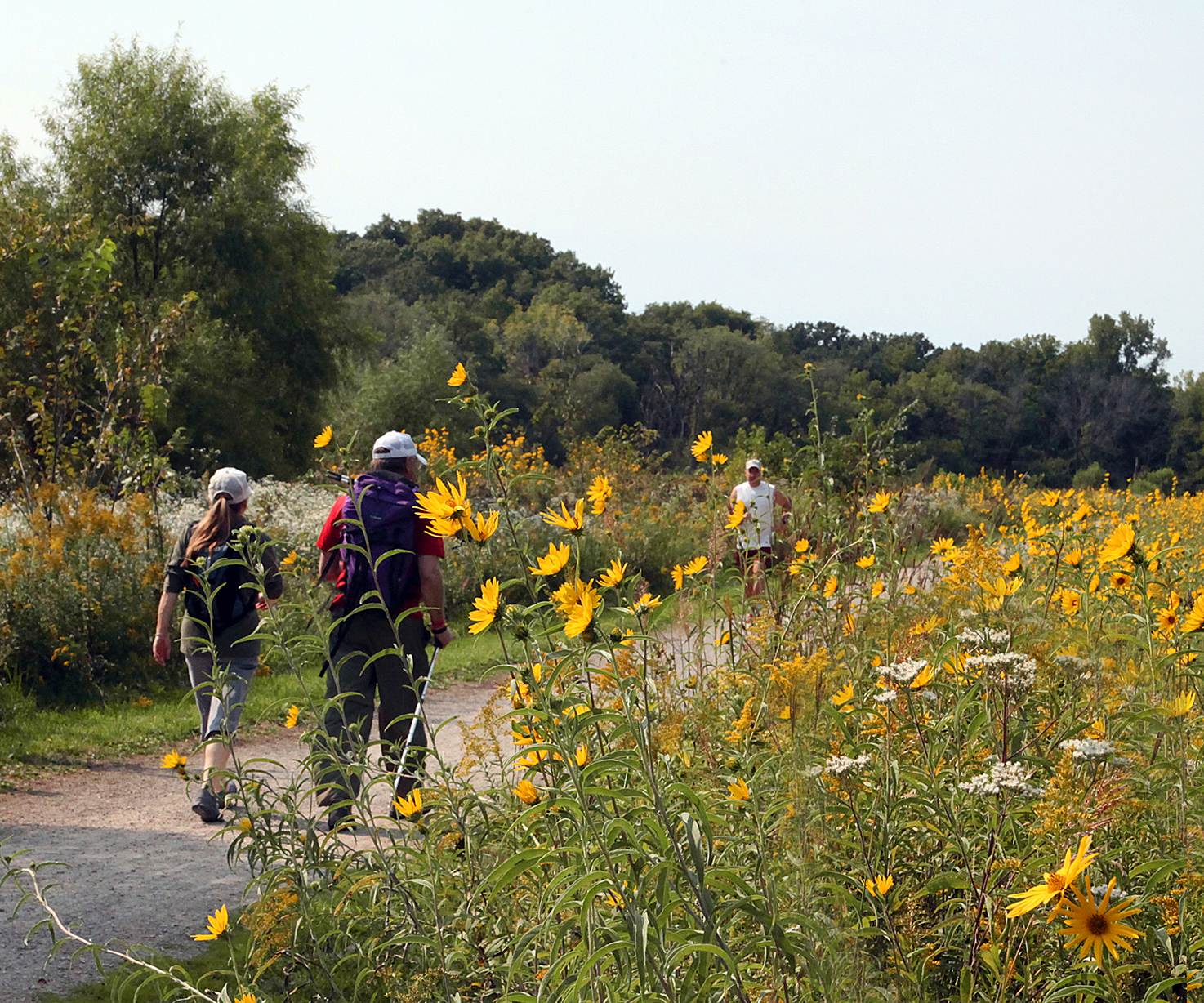
Below: Walkers on the Trail. Photos by Werner Elmker.
Walking-only Trails near the Loop Trail (in three of the segments)
1. Walking-only Trails in the Lakes segment of the Loop Trail
Below: Entrance to the West Pleasant Lake Walking Trail (will be impacted by construction thru 2020). Another trail is on the east side of Pleasant Lake.
See photos of maintenance or these trails.
Bonnifield Lake is surrounded by the Waterworks Park Walking Trail, a grassy multi-purpose trail. It connects to the beach for swimming, and to the Loop Trail.
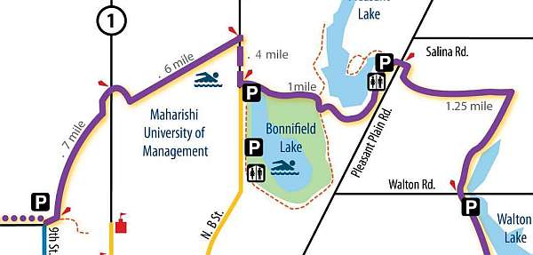
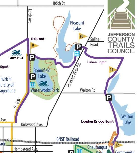
Below: Map of Bonnifield Lake and Pleasant Lake Walking-only Trails. They are marked with dotted lines.
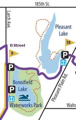
Below: This reference map shows all 3 lakes in the Lakes Segment of the Loop Trail.
2. Walking-only Trail in the Louden Bridge segment
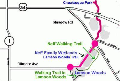
A new wetlands was created just east of Chautauqua Park by the Iowa DOT as part of their mitigation program. A new walking-only trail was created by mowing a path through the grass, and it will continue to be mowed during the growing season. Volunteers built a small bridge to cross a small drainage ditch next to the wetlands. See the Kiosk Panel about Jack Eastman Wetlands.
Below: Walking-only trail east of Chautauqua Park - more details..
3. The Walking-only Trails in Lamson Woods connect to the Loop Trail
Loop Trail near the Lamson Woods Walking-only Trails. Photo by Werner Elmker.
Below: Map - The Neff Walking Trail connects to the Lamson Woods Walking Trail in Lamson Woods, and at the other end connects to the Loop Trail near Glasgow Road. See the Kiosk Panel about the Neff Wetlands Mitigation Site.
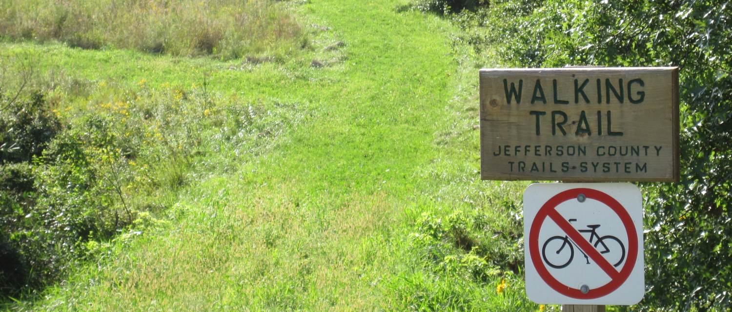
Note: The trail through Lamson Woods is in a State Preserve - please obey all of the rules.
History of the Railroads in Fairfield (and how they became trails)
BNSF Railroad, looking west from Fourth Street. Photo by Werner Elmker.
Two major railroads served Fairfield, and some of their old right-of-way are now used for trails.
1. BNSF Railroad History
The first train to arrive in Fairfield (1858) was from Burlington, Iowa. Track construction was completed to Omaha, Nebraska, sometime after the Civil War ended.
The BMRR was absorbed by the C B & Q (Chicago, Burlington & Quincy Railroad) about 1872.
In 1901 the C B & Q (now BNSF) dualized and straightened the tracks through Iowa. Tall trestles (still in use) were built at each end of Fairfield. The east trestle is near Chautauqua Park, and the west trestle is just north of Whitham Woods.
East section -- The "back side" of the driveway around Chautauqua Park is on 0.3-miles of the original roadbed, and the trail bridge over Crow Creek (which connects to the Loop Trail) replaces a railroad bridge. This alignment was abandoned in 1901.
West section - Until 1901 the tracks ran through was is now Whitham Woods. About 0.25-miles of this old roadbed is used by the Loop Trail. (The old railroad bridge abutments can be seen in Whitham Woods just off the Loop Trail.)
Below: The West section through the cow pasture before the Loop Trail was built. The trail had to be raised, but was built on top of the old roadbed. The photo is of the old C B & Q roadbed, south of Whitham Woods, before the Loop Trail was constructed. (Viewed from Business Hwy 34 West, looking north).
Below: Viewed from the same point, but how it looks now. The track went straight south, but the trail had to make a sharp turn.
2. Rock Island Railroad History
In 1870 the Fairfield city leaders found out that the Chicago and South Western Railway Company planned to extend its tracks from Washington, Iowa to Kansas City. They lobbied the railroad to come through Fairfield and were successful. The tracks arrived in 1871.
The Rock Island carried freight and passengers to and through Fairfield until its demise in 1980. Parts of the roadbed are still visible in and around Fairfield, some used for trails.
Five sections of the abandoned Rock Island roadbed are currently utilized for trails (both 1871 and 1946 alignments).
1. Rock Island section -- A 1.3-mile section along the northwest border of Maharishi University of Management (1946 alignment) has become a crucial part of the North Segment of the 17-mile Fairfield Loop Trail. This section connects 8th Street/Gear Avenue with North B Street.
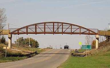
Below: The railroad bridge that once crossed over Highway 1 was removed in 1982, so the Matkin Memorial Bridge was built in 2009 allowing Loop Trail users to safely cross this busy highway.
2. Erma Hartman section - The 0.4-mile Erma Hartman Memorial Trail starts at West Jackson Ave (west of 7th St.) and runs southwesterly along the 1871 (and 1946) section of the old roadbed to the East Entrance trail of Jefferson County Park.
3. Jefferson County Park section - This 0.8-mile section on the 1946 roadbed crosses the northern part of the park, connecting at its western end to the Cedar View Trail, and at its eastern end to the Prairie and Pond Trail. A spur trail continues, roughly paralleling the roadbed, to join the Erma Hartman Trail.
4. Cedar View Trail - The Cedar View Trail uses 1.5-miles of the 1946 roadbed. Beginning at the 32nd Street entrance to Jefferson County Park, it extends southwesterly, crosses Hwy 34, crosses Cedar Creek on the Cedar View Bridge, and ends at 223rd Street. (The old railroad bridge was dismantled in the 1980's).
From 223rd Street, heading west, the Cedar View Trail utilizes 3 miles of county roads to travel to the town of Libertyville. In the future, the existing railroad bed to Libertyville may be turned into trail, depending on funding and easements.
5. Jefferson County Park entrance - The Park entrance road, at Libertyville Rd., uses the original 1871 alignment of the Rock Island (it was abandoned in 1946 when the section to Libertyville was straightened out and shortened). The entrance road is 0.5-miles long, and then becomes a trail that extends northeastward to the East Entrance, where it joins the Erma Hartman Trail.
Below: The new Cedar View Trail bridge over Cedar Creek that replaced the Rock Island Railroad bridge (which was dismantled in the early 1980's).
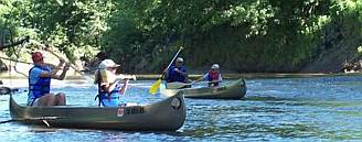
Water Trails in Jefferson County
Water Trails - Scroll down to view the maps.
At present, there are two designated water trails in Jefferson County:
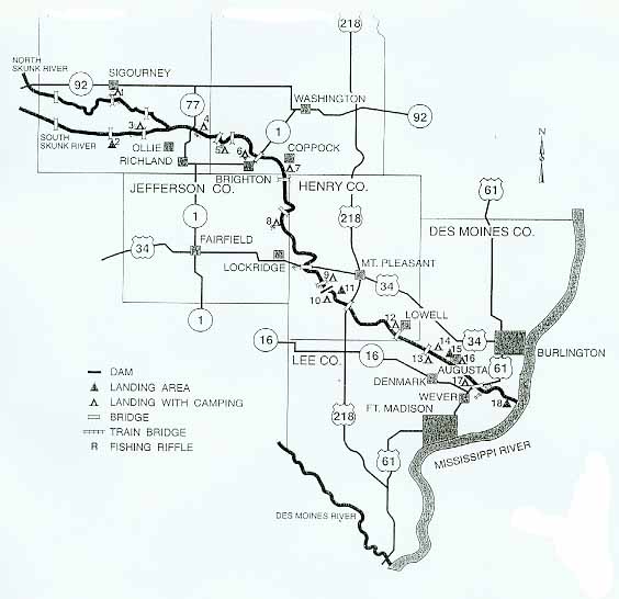
1. The 72-mile long Skunk River Water Trail traverses Keokuk, Washington, Jefferson and Henry counties. The Jefferson County section is 10.5 miles long.
2. The Cedar Creek Water Trail (scroll down) uses about 6 miles of a scenic section of Cedar Creek.
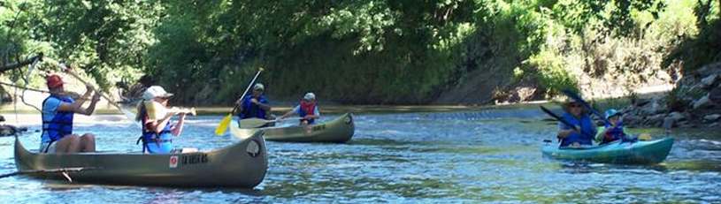
1. Skunk River Water Trail section in Jefferson County
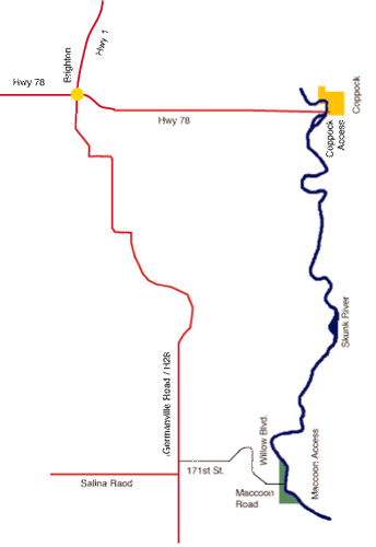
The Jefferson County section of the Skunk River Water Trail is 10.5 miles long. Put in at the Coppock Access boat ramp and take out at MacCoon Access.
The 72-mile Skunk River Water Trail begins at the South Skunk River Access (# 2 on the map, south of Sigourney) and ends at Oakland Mills Park (# 10 on the map, southwest of Mt Pleasant).
 .
.
The Jefferson County portion of this water trail is maintained by the Jefferson County Conservation Board. A detailed brochure is available. Their website is here.
2. Cedar Creek Water Trail
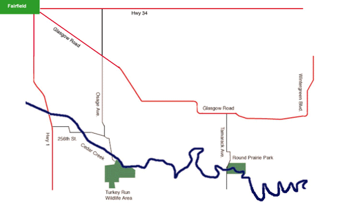
Put into Cedar Creek at the Turkey Run Wildlife Area and take out at Round Prairie Park, about 6 miles downstream.
This water trail is maintained by the Jefferson County Conservation Board. See more about this Water Trail at their website.
Fairfield City Lakes
The City of Fairfield and the Park & Recreation department are transforming the three city water reservoirs into water recreation areas, since the reservoirs were set aside as emergency sources of city water in 2005.
Non-wake boats are allowed on all 3 lakes, as well as row-boats, kayaks, etc. Boats with internal combustion engines are not allowed.
Please have respect for the lakes and help keep them clean.
Below: This map shows the location of the lakes.
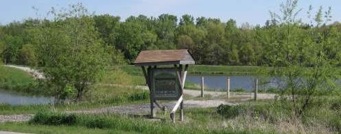
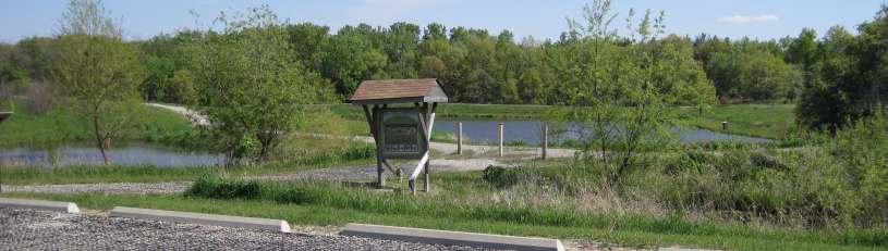
Prairie & Pond Trail, link to Jefferson County Park
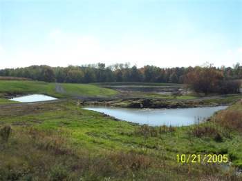
Storm Water Management Pond Project
The Jefferson County Conservation Board, in conjunction with FEDA, Jefferson County Soil and Conservation District, the City of Fairfield, Conserv Corp, Chapel Studios, Creative Edge, Harper Brush and Chris Davis, has completed an exciting watershed project.
The project provides a 3-acre pond and a trail that connects Jefferson County Park with the industrial park and the City of Fairfield.
This pond, located just south of the Farm Service Agency in the industrial park, and just north of Jefferson County Park, will address the challenges of urban non-point storm water runoff. The 28-acre watershed in the industrial park will be treated to demonstrate new infiltration-based storm water practices. The site is projected to be a model for industrial development and a showcase for contractors and educators in counties throughout Southeast Iowa.
Management practices installed in this pond project are:
Scrubber Wetlands
Bio-Infiltration Cells (in parking lot and trail system that will filter out pollutants and slow water runoff so that pollutants will settle out on site and not enter the retention pond)
Inlet Protection Devices
Prairie Buffering
Rock Chutes
Silt Fences
The primary goal of this project is to provide a demonstration for storm water management that reduces runoff and downstream flooding that will ultimately protect the water quality. It will also enable trail users in Jefferson County Park to access the city of Fairfield by foot or bicycle.
Seventy-five percent of the project cost came from State Water Protection Funds and Federal 319 funds. Twenty-five percent of the project came from local dollars, including REAP money distributed from the JCCB.
Submitted by Dennis Lewiston, Director of the Jefferson County Conservation Board
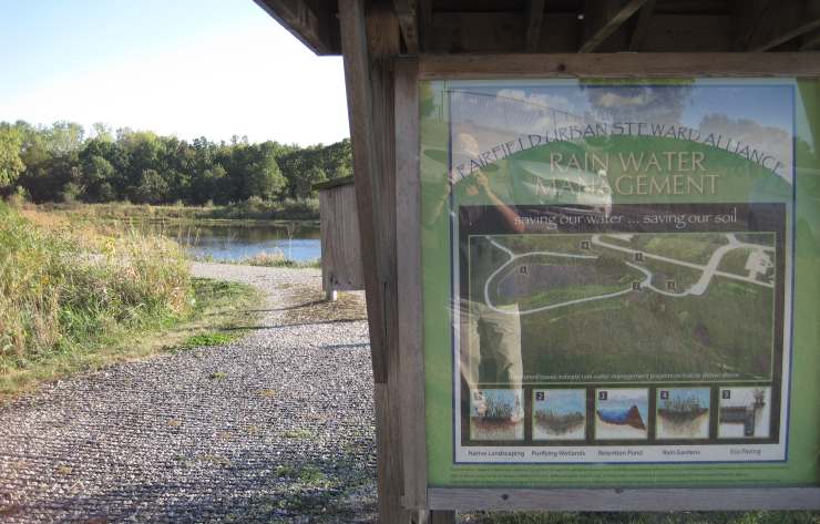
Below: The Storm Water Management Pond Project, Dec 05, 2009.
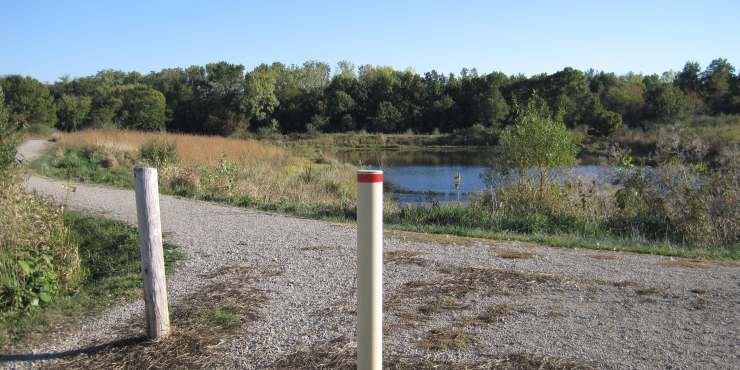
Below: The trail around the pond.
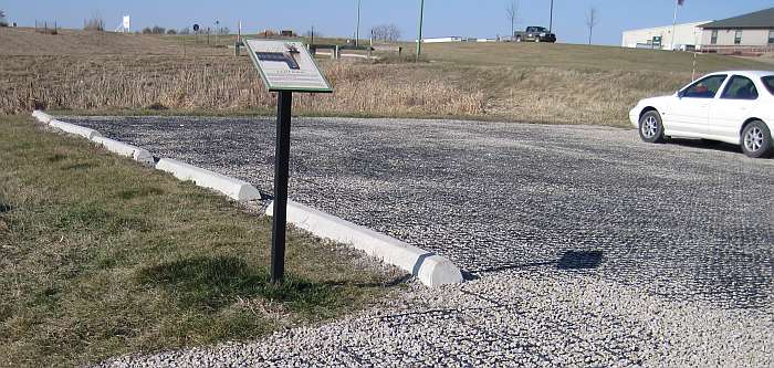
Below: The parking lot uses ecopaving.
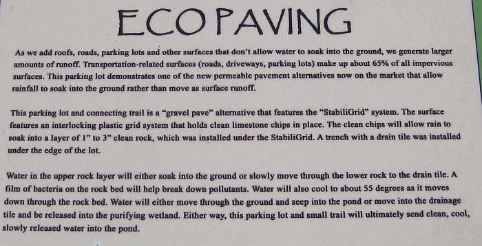
Below: Ecopaving explained on the display.
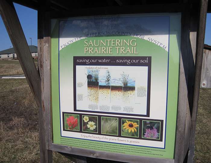
Below: Details of the kiosk.
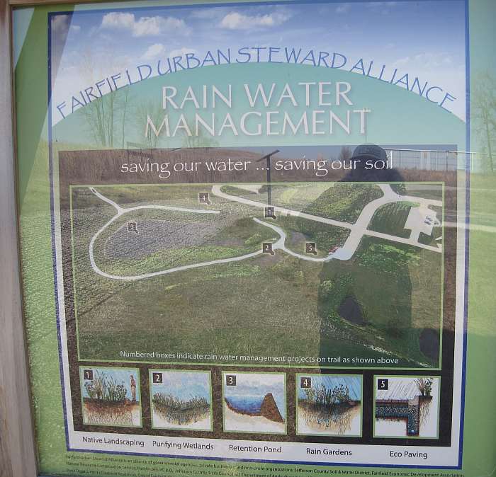
Below: More details of the kiosk.
Photos by J Fitz-Randolph
Fairfield Bikeway & Walkway Plan
Fairfield Bikeway & Walkway Plan
The Jefferson County Trails Council put up signs around town for a city-wide Bikeway/Walkway system. The original plan dates to a 2006 study by University of Iowa students designed to connect neighborhoods, schools, parks, recreational areas, and portions of the Jefferson County Trail system. The plan was approved by the City of Fairfield and implemented by the Trails Council.
Streets marked as Bikeway/Walkway are ordinary city streets, so pedestrians and bicyclists should obey normal traffic laws and safety precautions. However, the intent of the plan is to mark those streets for future improvements. Some portions of the planned routes, notably West Burlington Ave and South Main St, are waiting on the repaving of those streets, and so the signs indicate alternative routes in the meantime.
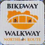
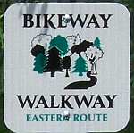
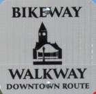
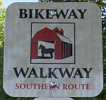
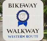
The 5 color-coded routes each have a distinctive icon.
The signs and five original icons were designed by Mark Shafer and his Fairfield High School art classes.
Other Trails in Southeast Iowa
Other Trails in Southeast Iowa
A. J. Steiner, of A.J's Bicycle Shop, prepared a comprehensive list of trails in our area. It also includes plenty of links to trail websites.
AJ'S Top Ten Mountain Bike Places
1. Sockum Ridge County Park "Sweet and loopy"
2. Sugar Bottom Recreation Area "Hard core challenge"
3. Lake Geode State Park "Great views of the lake"
4. Belva Deer Nature Area "Relaxing ride through beautiful prairie"
5. Lake Wapello State Park "Other people love it"
6. Shimek State Forest "Ride to a secluded spot and chill"
7. Jefferson County Park "Like riding in your own backyard"
Oops! That's only seven. Maybe you can find three more.
Maps are available at AJ's Bicycle Shop, 123 N. Court St, Fairfield, IA.
Note: Lacey-Keosauqua State Park is a "Great ride along the Des Moines River" according to AJ.
However, the trails at the park are designated as hiking trails only and do not have a multi-use designation, so therefore any other use other than hiking is prohibited. Iowa DNR has looked into the designation and has decided to keep the existing trail designation due to safety reasons and the protection of plant species close along the trails. Biking at the park must be confined to the park roadways.
This information was supplied by Justin Pedretti, Park Manager, Iowa Department of Natural Resources, on March 13, 2018.
Please let us know if you have updated information.